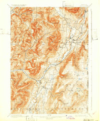
1900 Map of Equinox
USGS Topo · Published 1932About this map
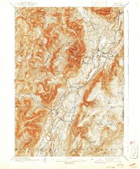
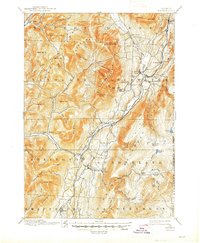
The Batten Kill valley serves as the central artery for this corner of Bennington County, where the transition from agricultural valley floors to the high peaks of the Green Mountains is sharply defined. The settlement pattern of the 1890s is clearly visible, anchored by Manchester and its specialized neighborhoods at Manchester Center and Manchester Depot. Further south, small industrial or worker enclaves like Kansas and East Kansas appear alongside Chiselville, showing the localized clusters of the era.
Find a feature on this map
90 named features on this map. Tap any name to fly to it.
Don’t see what you’re looking for? This feature index may not catch every label — zoom into the map to look around manually.
Map Details
Editions of this 1900 Equinox Map
7 editions found

Other maps of this area

1889 · Wilmington
USGS Topo · 1:62,500

1891 · Wilmington
USGS Topo · 1:62,500

1893 · Wallingford
USGS Topo · 1:62,500

1893 · Fort Ann
USGS Topo · 1:62,500

1894 · Londonderry
USGS Topo · 1:62,500

1894 · Pawlet
USGS Topo · 1:62,500

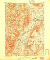
1894 · Equinox
USGS Topo · 1:62,500

1895 · Cambridge
USGS Topo · 1:62,500

1895 · Fort Ann
USGS Topo · 1:62,500

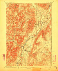
1896 · Equinox
USGS Topo · 1:62,500