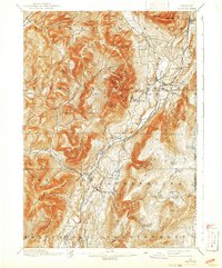
1900 Map of Equinox
USGS Topo · Published 1941About this map
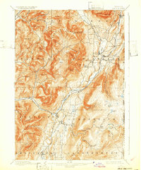
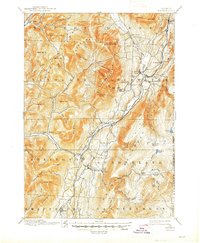
The Batten Kill valley serves as the central artery for this Bennington County landscape, where the Rutland RR connects a string of settlements from Manchester Depot through Sunderland and Arlington. While the valley floor is defined by agriculture and transit, the surrounding heights of the Taconic Range and Green Mountains harbor isolated hollows and peaks. The map reveals the early industrial and social geography of the region, noting vanished hamlets and crossroads like Chiselville, Barnumville, and Beartown.
Find a feature on this map
83 named features on this map. Tap any name to fly to it.
Don’t see what you’re looking for? This feature index may not catch every label — zoom into the map to look around manually.
Map Details
Editions of this 1900 Equinox Map
7 editions found

Other maps of this area

1889 · Wilmington
USGS Topo · 1:62,500

1891 · Wilmington
USGS Topo · 1:62,500

1893 · Wallingford
USGS Topo · 1:62,500

1893 · Fort Ann
USGS Topo · 1:62,500

1894 · Londonderry
USGS Topo · 1:62,500

1894 · Pawlet
USGS Topo · 1:62,500

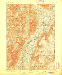
1894 · Equinox
USGS Topo · 1:62,500

1895 · Cambridge
USGS Topo · 1:62,500

1895 · Fort Ann
USGS Topo · 1:62,500

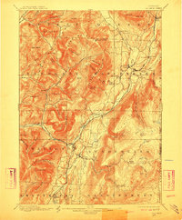
1896 · Equinox
USGS Topo · 1:62,500