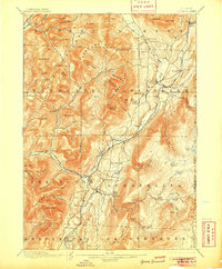
1900 Map of Equinox
USGS Topo · Published 1905About this map
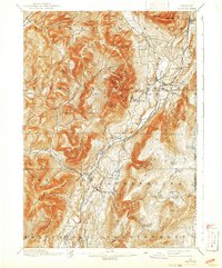
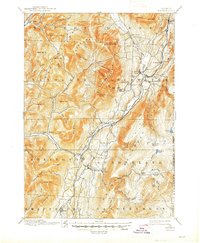
Equinox Mountain dominates this landscape, its sharp contours rising above the valley where the Batten Kill River flows through the heart of Bennington County. This 1894 survey captures the region just as the marble and timber industries shaped its local economy, with the Rutland R. R. and D. & H. R. R. providing vital connections for settlements like Manchester Depot and East Dorset. The settlement pattern follows the narrow valley floors, while the surrounding peaks like Mother Myrick Mtn. and Bear Mountain remain largely undeveloped.
Find a feature on this map
101 named features on this map. Tap any name to fly to it.
Don’t see what you’re looking for? This feature index may not catch every label — zoom into the map to look around manually.
Map Details
Editions of this 1900 Equinox Map
7 editions found

Other maps of this area

1889 · Wilmington
USGS Topo · 1:62,500

1891 · Wilmington
USGS Topo · 1:62,500

1893 · Wallingford
USGS Topo · 1:62,500

1893 · Fort Ann
USGS Topo · 1:62,500

1894 · Londonderry
USGS Topo · 1:62,500

1894 · Pawlet
USGS Topo · 1:62,500

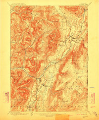
1894 · Equinox
USGS Topo · 1:62,500

1895 · Cambridge
USGS Topo · 1:62,500

1895 · Fort Ann
USGS Topo · 1:62,500

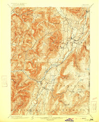
1896 · Equinox
USGS Topo · 1:62,500