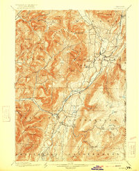
1900 Map of Equinox
USGS Topo · Published 1921About this map
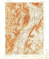
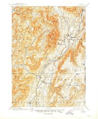
Equinox Mountain dominates the center of this southern Vermont landscape, rising sharply above the valley floor where the Batten Kill flows south toward Arlington. At the turn of the century, the region's development followed the water and rail, with distinct clusters of activity at Manchester Center and Manchester Depot along the Bennington and Rutland line. The map captures a transition from the industrial valley to the timbered heights of the Green Mountains, revealing remote mountain settlements like Kelley Stand and the uniquely named Kansas and East Kansas at the base of Glastenbury.
Find a feature on this map
89 named features on this map. Tap any name to fly to it.
Don’t see what you’re looking for? This feature index may not catch every label — zoom into the map to look around manually.
Map Details
Editions of this 1900 Equinox Map
7 editions found

Other maps of this area

1889 · Wilmington
USGS Topo · 1:62,500

1891 · Wilmington
USGS Topo · 1:62,500

1893 · Wallingford
USGS Topo · 1:62,500

1893 · Fort Ann
USGS Topo · 1:62,500

1894 · Londonderry
USGS Topo · 1:62,500

1894 · Pawlet
USGS Topo · 1:62,500

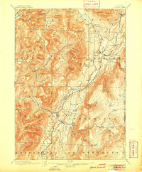
1894 · Equinox
USGS Topo · 1:62,500

1895 · Cambridge
USGS Topo · 1:62,500

1895 · Fort Ann
USGS Topo · 1:62,500

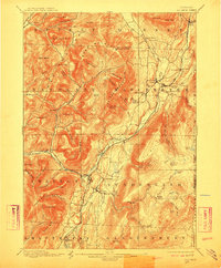
1896 · Equinox
USGS Topo · 1:62,500