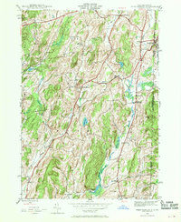
1944 Map of West Pawlet
USGS Topo · Published 1958About this map
The New York-Vermont border cuts through a landscape defined by small agricultural hamlets and a significant concentration of family burial grounds during the mid-1940s. Centered on the town of Hebron and stretching toward West Pawlet, the area shows a transition from active local infrastructure to a changing rural economy, evidenced by the presence of Sch No 4 (abandoned) and Braymer Sch (abandoned). The Delaware and Hudson railroad tracks parallel the Indian River in the east, facilitating the movement of goods between South Granville and the valley. Local industry and social life are anchored by features like Chamberlain Mills and the Hebron Ch, while a dense network of cemeteries such as Tanner Cem and Taylor Hill Cem provides a rich record of the region's early settlers and genealogical history.
Find a feature on this map
39 named features on this map. Tap any name to fly to it.
Don’t see what you’re looking for? This feature index may not catch every label — zoom into the map to look around manually.
Map Details
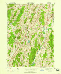
Editions of this 1944 West Pawlet Map
2 editions found
Other maps of this area

1893 · Fort Ann
USGS Topo · 1:62,500

1894 · Pawlet
USGS Topo · 1:62,500

1894 · Equinox
USGS Topo · 1:62,500

1895 · Cambridge
USGS Topo · 1:62,500

1895 · Fort Ann
USGS Topo · 1:62,500

1896 · Equinox
USGS Topo · 1:62,500

1897 · Pawlet
USGS Topo · 1:62,500

1898 · Cambridge
USGS Topo · 1:62,500

1898 · Fort Ann
USGS Topo · 1:62,500

1900 · Equinox
USGS Topo · 1:62,500