Loading...
Loading map...2021 Map of West Point
USGS Topo · Published 2021About this map
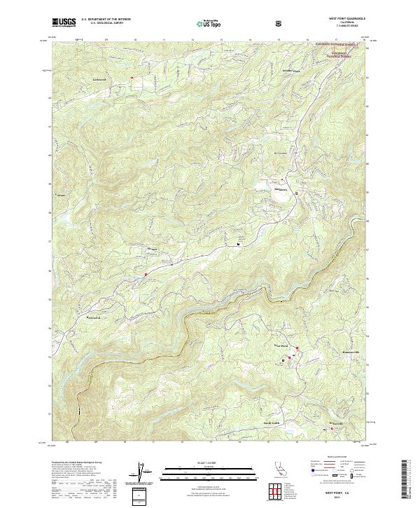
The North Fork Mokelumne River and Middle Fork Mokelumne River carve through the landscape along the Amador Co Calaveras Co border, anchoring a region defined by its Gold Country water systems and small settlements. The map details complex irrigation and mining legacy infrastructure, such as the Upper Standard Canal, Lower Standard Canal, and the Volcano Ditch, which once served the needs of the Mother Lode region.
Find a feature on this map
173 named features on this map. Tap any name to fly to it.
Don’t see what you’re looking for? This feature index may not catch every label — zoom into the map to look around manually.
Map Details
Date Portrayed2021
Date Published2021
PublisherU.S. Geological Survey
Map TypeTopographic
Scale1:24000
Physical Dimensions24 x 29 inches
Editions of this 2021 West Point Map
This is the sole edition of this map. No revisions or reprints were ever made.
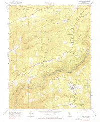
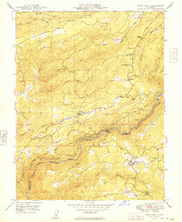
Historical Maps of Pioneer Through Time
3 maps found
Featured Locations
Source Details
SourceU.S. Geological Survey
CopyrightPublic Domain