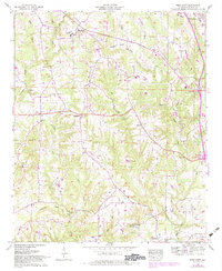
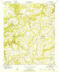
1958 Map of West Point
USGS Topo · Published 1983About this map
West Point serves as a primary hub for this Cullman County landscape, situated where the terrain begins its ascent toward the Brindley Mountain plateau. The map documents a rural network of small communities and family landmarks, with Grandview and Bethel marking distinct clusters of settlement. The geography is defined by a dense system of waterways, including Crooked Creek and Ryan Creek, which have carved several notable gaps through the highlands.
Find a feature on this map
36 named features on this map. Tap any name to fly to it.
Don’t see what you’re looking for? This feature index may not catch every label — zoom into the map to look around manually.
Map Details
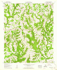
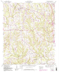
Editions of this 1958 West Point Map
3 editions found
Other maps of this area

1888 · Cullman
USGS Topo · 1:125,000

1892 · Cullman
USGS Topo · 1:125,000

1927 · Falkville
USGS Topo · 1:24,000

1935 · Danville
USGS Topo · 1:48,000

1936 · Mc Kendry
USGS Topo · 1:24,000

1936 · Eva
USGS Topo · 1:24,000

1938 · Danville
USGS Topo · 1:62,500

1949 · Falkville
USGS Topo · 1:24,000
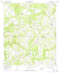
1949 · Eva
USGS Topo · 1:24,000
1951 · Eva
USGS Topo · 1:24,000