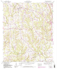
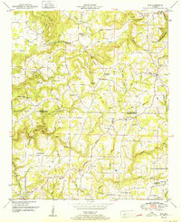
1958 Map of West Point
USGS Topo · Published 1983About this map
West Point and its surrounding rural communities occupy the high ground between the Valley Divide and several deep creek drainages in Cullman County. This landscape, surveyed in the late 1950s with later revisions, shows a network of family-named landmarks and local institutions essential to North Alabama's rural life. Numerous small sanctuaries such as Bethel Ch and Salem Ch are scattered among the ridges, often adjacent to long-standing family burial grounds like Pullen Cem or Spitznagel Cem.
Find a feature on this map
42 named features on this map. Tap any name to fly to it.
Don’t see what you’re looking for? This feature index may not catch every label — zoom into the map to look around manually.
Map Details
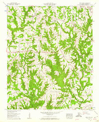
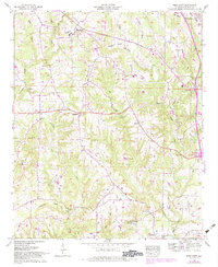
Editions of this 1958 West Point Map
3 editions found
Other maps of this area

1888 · Cullman
USGS Topo · 1:125,000

1892 · Cullman
USGS Topo · 1:125,000

1927 · Falkville
USGS Topo · 1:24,000

1935 · Danville
USGS Topo · 1:48,000

1936 · Mc Kendry
USGS Topo · 1:24,000

1936 · Eva
USGS Topo · 1:24,000

1938 · Danville
USGS Topo · 1:62,500

1949 · Falkville
USGS Topo · 1:24,000
1949 · Eva
USGS Topo · 1:24,000
1951 · Eva
USGS Topo · 1:24,000