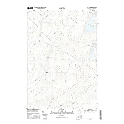
2016 Map of West Potsdam
USGS Topo · Published 2016About this map
The Raquette River carves through the eastern edge of this Saint Lawrence County landscape, supporting the established communities of Norwood, Hewittville, and the northern reaches of Potsdam. Further west, the terrain transitions into a mosaic of rural settlements and agricultural corridors defined by the paths of Trout Brook and Stony Brook. Small hamlets like West Potsdam and Slab City are central to this interior region, which is marked by a network of local thoroughfares such as Morley Potsdam Rd and Co Rd 34. For those tracing local heritage, the map identifies several key burial grounds including Saint James Cem, Riverside Cem, and the West Potsdam Cemetery. The settlement at Eben and the winding course of Sugar Creek further define the southern reaches of this transition zone between the river valleys and the upland country.
Find a feature on this map
64 named features on this map. Tap any name to fly to it.
Don’t see what you’re looking for? This feature index may not catch every label — zoom into the map to look around manually.
Map Details
Editions of this 2016 West Potsdam Map
This is the sole edition of this map. No revisions or reprints were ever made.
Other maps of this area

1905 · Waddington
USGS Topo · 1:62,500

1906 · Massena
USGS Topo · 1:62,500

1907 · Massena
USGS Topo · 1:62,500

1908 · Potsdam
USGS Topo · 1:62,500

1910 · Canton
USGS Topo · 1:62,500

1911 · Canton
USGS Topo · 1:62,500

1942 · Waddington
USGS Topo · 1:24,000

1942 · Chase Mills
USGS Topo · 1:24,000

1942 · Norfolk
USGS Topo · 1:24,000
1943 · Waddington
USGS Topo · 1:31,680