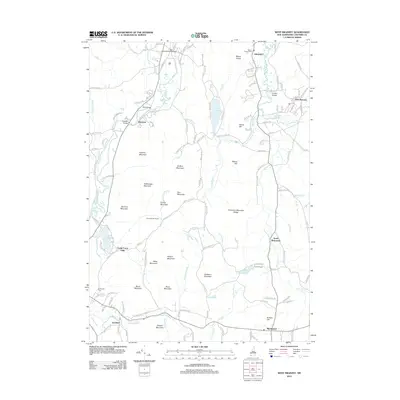
2012 Map of West Swanzey
USGS Topo · Published 2012About this map
West Swanzey and the surrounding villages of Cheshire County showcase a landscape deeply defined by the Ashuelot River and its many tributaries. This 2012 survey reveals a settlement pattern of small, established communities connected by historic crossings such as the Carleton Bridge, Coombs Bridge, and State Bridge. These landmarks, along with the Mount Caesar Cem and Evergreen Cem, provide critical points of reference for those researching local family history or the development of southern New Hampshire.
Find a feature on this map
143 named features on this map. Tap any name to fly to it.
Don’t see what you’re looking for? This feature index may not catch every label — zoom into the map to look around manually.
Map Details
Editions of this 2012 West Swanzey Map
This is the sole edition of this map. No revisions or reprints were ever made.
Other maps of this area

1887 · Warwick
USGS Topo · 1:62,500

1887 · Winchendon
USGS Topo · 1:62,500

1889 · Warwick
USGS Topo · 1:62,500

1890 · Winchendon
USGS Topo · 1:62,500

1894 · Winchendon
USGS Topo · 1:62,500

1894 · Warwick
USGS Topo · 1:62,500

1898 · Monadnock
USGS Topo · 1:62,500

1898 · Keene
USGS Topo · 1:62,500

1932 · Warwick
USGS Topo · 1:48,000

1932 · Winchendon
USGS Topo · 1:48,000