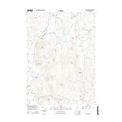
2015 Map of West Swanzey
USGS Topo · Published 2015About this map
The Ashuelot River carves a central path through this corner of Cheshire County, anchoring the industrial and residential development of West Swanzey, East Swanzey, and Westport. The landscape is defined by its transition from riverine lowlands to significant upland peaks, including the Franconia Mtn Range and the distinctive Mount Caesar. Local history is preserved in the placement of several river crossings such as the West Swanzey Bridge, Carleton Bridge, and Coombs Bridge, which hint at long-established transportation routes connecting the mill villages.
Find a feature on this map
132 named features on this map. Tap any name to fly to it.
Don’t see what you’re looking for? This feature index may not catch every label — zoom into the map to look around manually.
Map Details
Editions of this 2015 West Swanzey Map
This is the sole edition of this map. No revisions or reprints were ever made.
Other maps of this area

1887 · Warwick
USGS Topo · 1:62,500

1887 · Winchendon
USGS Topo · 1:62,500

1889 · Warwick
USGS Topo · 1:62,500

1890 · Winchendon
USGS Topo · 1:62,500

1894 · Winchendon
USGS Topo · 1:62,500

1894 · Warwick
USGS Topo · 1:62,500

1898 · Monadnock
USGS Topo · 1:62,500

1898 · Keene
USGS Topo · 1:62,500

1932 · Warwick
USGS Topo · 1:48,000

1932 · Winchendon
USGS Topo · 1:48,000