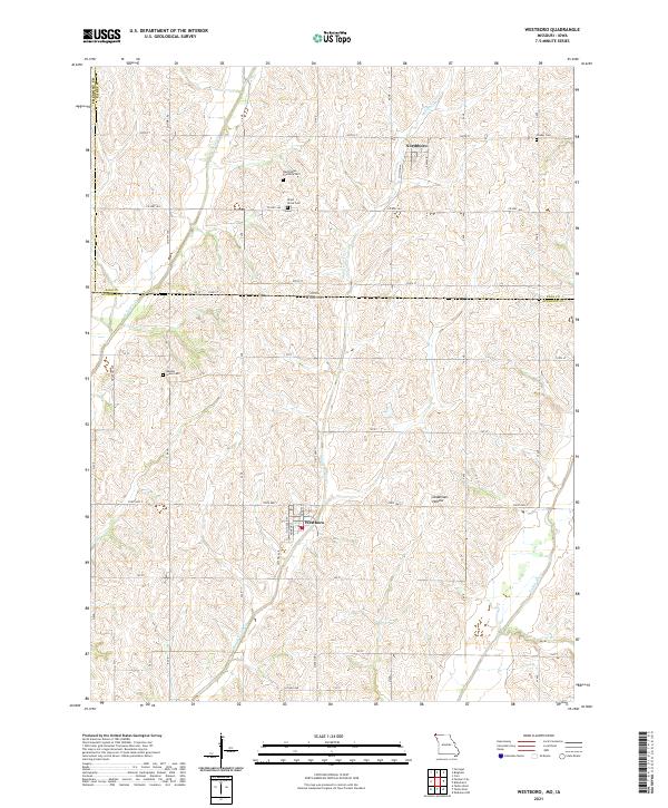
2021 Map of Westboro
USGS Topo · Published 2021About this map
Westboro sits at the heart of this rural borderland, where the fertile plains of Atchison County meet the Iowa state line. The landscape is defined by the winding course of the Tarkio River and its various tributaries, including Middle Tarkio Cr and W Tarkio Cr. This survey captures a region deeply connected to its agricultural roots, evidenced by the grid of sectional roads like State Hwy C and Satchel Ave that navigate the undulating terrain. To the north, the small settlement of Northboro provides a secondary focal point just across the state boundary. Family history is preserved in several rural burial grounds scattered throughout the township, such as the Washington Township Cem and Union Grove Cem. A distinctive topographical feature, Deadmans Hollow, lies east of Westboro, offering a break in the predominantly cultivated fields.
Find a feature on this map
34 named features on this map. Tap any name to fly to it.
Don’t see what you’re looking for? This feature index may not catch every label — zoom into the map to look around manually.
Map Details
Editions of this 2021 Westboro Map
This is the sole edition of this map. No revisions or reprints were ever made.