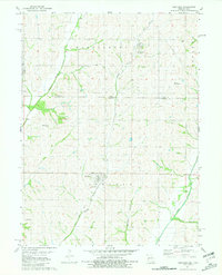
1981 Map of Westboro
USGS Topo · Published 1981About this map
Iowa Missouri borderlands define this agricultural landscape, where the state line bisects the rolling terrain between the Tarkio River and its major tributaries. The settlement of Northboro sits just north of the boundary in Iowa, while Westboro anchors the Missouri side to the south. Transportation patterns are shaped by the local hydrology and defunct infrastructure, notably the Old Railroad Grade that winds through Washington and Lincoln townships.
Find a feature on this map
20 named features on this map. Tap any name to fly to it.
Don’t see what you’re looking for? This feature index may not catch every label — zoom into the map to look around manually.
Map Details
Editions of this 1981 Westboro Map
This is the sole edition of this map. No revisions or reprints were ever made.
Other maps of this area

1939 · Tarkio
USGS Topo · 1:62,500

1939 · Farragut
USGS Topo · 1:62,500

1939 · Skidmore
USGS Topo · 1:62,500

1940 · Tarkio
USGS Topo · 1:62,500

1940 · Farragut
USGS Topo · 1:62,500

1940 · Coin
USGS Topo · 1:62,500

1941 · Tarkio
USGS Topo · 1:62,500

1941 · Skidmore
USGS Topo · 1:62,500

1942 · Skidmore
USGS Topo · 1:62,500

1943 · Coin
USGS Topo · 1:62,500