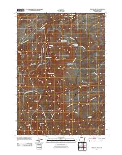
2011 Map of Westfall Butte
USGS Topo · Published 2011About this map
Westfall Butte stands as a central landmark in this high-desert landscape of eastern Malheur County, where the 2011 topography reveals a sophisticated network of water management for cattle and wildlife. The area is defined by numerous catchment systems, including Upper Gregory Creek Reservoir, Gregory Creek Reservoir, and the South Gregory Creek Reservoir, which cluster around the drainage of Gregory Creek. These reservoirs, alongside isolated water sources like Zotto Reservoir and Muir Reservoir, highlight the critical importance of water rights and resource planning in this arid rangeland.
Find a feature on this map
30 named features on this map. Tap any name to fly to it.
Don’t see what you’re looking for? This feature index may not catch every label — zoom into the map to look around manually.
Map Details
Editions of this 2011 Westfall Butte Map
This is the sole edition of this map. No revisions or reprints were ever made.
Other maps of this area

1908 · Ironside Mountain
USGS Topo · 1:125,000

1955 · Baker
USGS Topo · 1:250,000

1955 · Burns
USGS Topo · 1:250,000

1955 · Canyon City
USGS Topo · 1:250,000

1955 · Boise
USGS Topo · 1:250,000

1958 · Burns
USGS Topo · 1:250,000

1958 · Boise
USGS Topo · 1:250,000

1959 · Baker
USGS Topo · 1:250,000

1959 · Burns
USGS Topo · 1:250,000

1959 · Canyon City
USGS Topo · 1:250,000