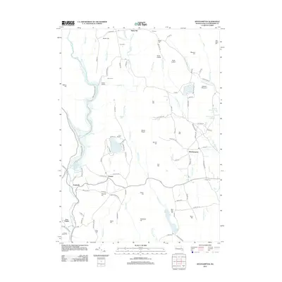
2012 Map of Westhampton
USGS Topo · Published 2012About this map
The Manhan River and Westfield River define the hydraulic landscape of this New England terrain, where the massive Knightville Reservoir dominates the western corridor. Much of the surrounding land is preserved within the Knightville Wildlife Area, while the central portion of the sheet is characterized by prominent elevations such as Mount Pisgah and Spruce Hill. The village of Westhampton sits to the east, connected by a network of rural roads to historical focal points like Bisbee Mill and the lakeside Camp Norwich.
Find a feature on this map
118 named features on this map. Tap any name to fly to it.
Don’t see what you’re looking for? This feature index may not catch every label — zoom into the map to look around manually.
Map Details
Editions of this 2012 Westhampton Map
This is the sole edition of this map. No revisions or reprints were ever made.
Other maps of this area

1885 · Northampton
USGS Topo · 1:62,500

1886 · Springfield
USGS Topo · 1:62,500

1886 · Chesterfield
USGS Topo · 1:62,500

1886 · Northampton
USGS Topo · 1:62,500

1887 · Granville
USGS Topo · 1:62,500

1888 · Chesterfield
USGS Topo · 1:62,500

1889 · Springfield
USGS Topo · 1:62,500

1889 · Granville
USGS Topo · 1:62,500

1891 · Northampton
USGS Topo · 1:62,500

1893 · Northampton
USGS Topo · 1:62,500