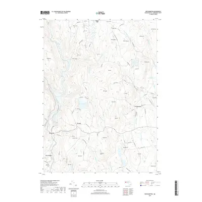
2018 Map of Westhampton
USGS Topo · Published 2018About this map
The village of Westhampton and the waters of the Westfield River define this part of Hampshire County. Settlement patterns follow the winding valleys, with clusters of activity at Knightville, Goss Heights, and Norwich. The landscape is heavily marked by its water resources, from the expansive Knightville Reservoir in the west to smaller bodies like Pine Island Lake and Norwich Pond. Industrial history is represented by the Bisbee Mill site on the northern edge of the quadrangle.
Find a feature on this map
116 named features on this map. Tap any name to fly to it.
Don’t see what you’re looking for? This feature index may not catch every label — zoom into the map to look around manually.
Map Details
Editions of this 2018 Westhampton Map
This is the sole edition of this map. No revisions or reprints were ever made.
Other maps of this area

1885 · Northampton
USGS Topo · 1:62,500

1886 · Springfield
USGS Topo · 1:62,500

1886 · Chesterfield
USGS Topo · 1:62,500

1886 · Northampton
USGS Topo · 1:62,500

1887 · Granville
USGS Topo · 1:62,500

1888 · Chesterfield
USGS Topo · 1:62,500

1889 · Springfield
USGS Topo · 1:62,500

1889 · Granville
USGS Topo · 1:62,500

1891 · Northampton
USGS Topo · 1:62,500

1893 · Northampton
USGS Topo · 1:62,500