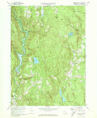
1972 Map of Westhampton
USGS Topo · Published 1973About this map
Westfield River waters dominate the western edge of this landscape, controlled by the massive Knightville Dam. This 1970s era documentation reveals a rugged Hampshire County interior where early industry and modern infrastructure meet, from the site of Bisbee Mill in the north to the Hampshire Regional High Sch near the town center of Westhampton. The map is particularly useful for genealogists, as it preserves the locations of small family and community burial grounds like Torrey Cem, Bofat Cem, and Norwich Bridge Cem.
Find a feature on this map
57 named features on this map. Tap any name to fly to it.
Don’t see what you’re looking for? This feature index may not catch every label — zoom into the map to look around manually.
Map Details
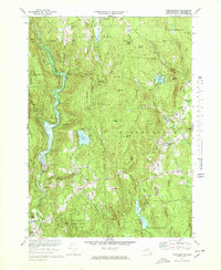
Editions of this 1972 Westhampton Map
2 editions found
Other maps of this area

1885 · Northampton
USGS Topo · 1:62,500

1886 · Springfield
USGS Topo · 1:62,500

1886 · Chesterfield
USGS Topo · 1:62,500

1886 · Northampton
USGS Topo · 1:62,500

1887 · Granville
USGS Topo · 1:62,500

1888 · Chesterfield
USGS Topo · 1:62,500

1889 · Springfield
USGS Topo · 1:62,500

1889 · Granville
USGS Topo · 1:62,500

1891 · Northampton
USGS Topo · 1:62,500

1893 · Northampton
USGS Topo · 1:62,500