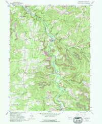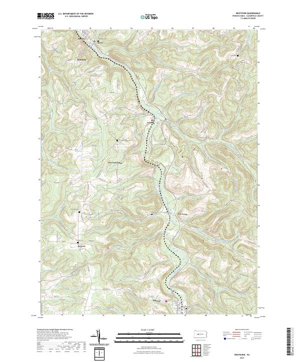
2023 Map of Westover
USGS Topo · Published 2023About this map
Chest Creek carves a deep valley through this corner of Clearfield County, anchoring a series of small settlements and family-named cemeteries that define the local landscape. The town of Westover lies at the southern bend of the creek, mirrored by Mahaffey and Ostend at the northern edge. Between these hubs, the terrain is marked by crossroads communities like New Washington and Harmony, which maintain their own distinct burial grounds such as New Washington Cem and Harmony Cem. Numerous tributaries including Snyder Run, Rattling Run, and Sawmill Run descend from the ridges, illustrating the intricate drainage patterns that have historically dictated road placement and property boundaries. For genealogists, the map is particularly valuable for its precise location of isolated sites like Dunkard Cem and La Jose Cem, situated along the winding rural routes that connect Newburg and Five Points.
Find a feature on this map
73 named features on this map. Tap any name to fly to it.
Don’t see what you’re looking for? This feature index may not catch every label — zoom into the map to look around manually.
Map Details
Editions of this 2023 Westover Map
This is the sole edition of this map. No revisions or reprints were ever made.