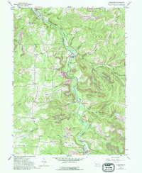
1959 Map of Westover
USGS Topo · Published 1994About this map
Chest Creek meanders through the heart of this Clearfield County landscape, anchoring a series of small coal-era settlements and rural townships. In the late 1950s, the region was characterized by the intersection of traditional agriculture and intensive extractive industry, visible in the numerous strip mines and reclaimed strip mines that dot the hillsides. Significant local landmarks include the community of Newburg (La Jose PO) and the Westover borough at the southern end of the sheet. For those researching family history, the map provides precise locations for Mt Joy Ch, Mt Zion Ch, and several cemeteries including La Jose Cem and Mahaffey Cem. Transportation across the terrain is dominated by the Colonel Drake Highway, which follows the creek valley, connecting smaller hamlets like Five Points and Thompsontown to the larger centers.
Find a feature on this map
49 named features on this map. Tap any name to fly to it.
Don’t see what you’re looking for? This feature index may not catch every label — zoom into the map to look around manually.
Map Details
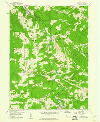
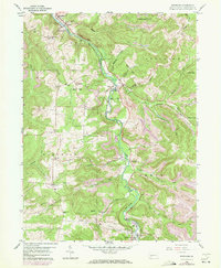
Editions of this 1959 Westover Map
3 editions found
Other maps of this area

1902 · Patton
USGS Topo · 1:62,500

1902 · Barnesboro
USGS Topo · 1:62,500

1903 · Curwensville
USGS Topo · 1:62,500

1904 · Barnesboro
USGS Topo · 1:62,500

1904 · Patton
USGS Topo · 1:62,500

1906 · Punxsutawney
USGS Topo · 1:62,500

1939 · Curwensville
USGS Topo · 1:62,500

1939 · Punxsutawney
USGS Topo · 1:62,500

1942 · Curwensville
USGS Topo · 1:62,500

1942 · Punxsutawney
USGS Topo · 1:62,500