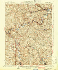
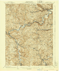
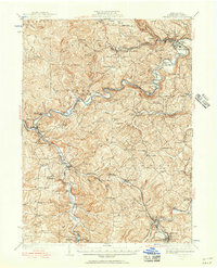
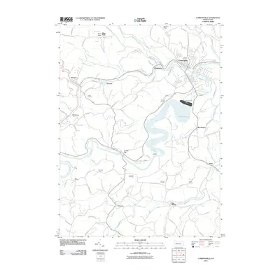
1942 Map of Curwensville
USGS Topo · Published 1942About this map
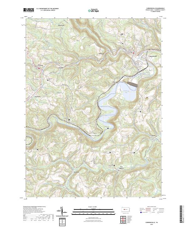
Lumber City and Curwensville anchor the winding path of the West Branch Pennsylvania Canal in this mid-century portrait of Clearfield County. The landscape is defined by the sharp meanders of the Susquehanna River and its numerous tributaries, including Clearfield Creek and Chest Creek, which carved deep valleys through the plateau. A dense network of local education and faith is evident, with many family-named landmarks like McClure Cem, Ferguson Cem, and Oakland Sch dotting the rural townships of Jordan and Greenwood.
Find a feature on this map
126 named features on this map. Tap any name to fly to it.
Don’t see what you’re looking for? This feature index may not catch every label — zoom into the map to look around manually.
Map Details
Editions of this 1942 Curwensville Map
This is the sole edition of this map. No revisions or reprints were ever made.
Historical Maps of Curwensville Through Time
9 maps found
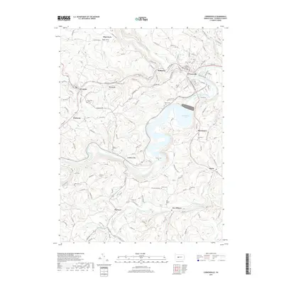
1903 Curwensville
Clearfield County, PA
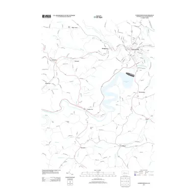
1939 Curwensville
Clearfield County, PA
1942 Curwensville
Clearfield County, PA
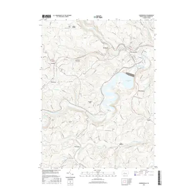
1959 Curwensville
Clearfield County, PA
2010 Curwensville
Clearfield County, PA
2013 Curwensville
Clearfield County, PA
2016 Curwensville
Clearfield County, PA
2019 Curwensville
Clearfield County, PA
2023 Curwensville
Clearfield County, PA