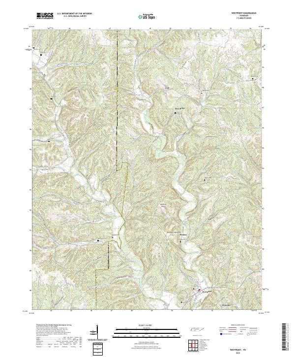
2022 Map of Westpoint
USGS Topo · Published 2022About this map
Westpoint sits at the convergence of Factory Creek and Chisholm Creek, serving as a central point in this deeply incised landscape along the boundary of Wayne Co and Lawrence Co. The topography is characterized by a dense network of hollows, including Melton Hollow, John McGee Hollow, and Johnson Hollow, which dictate the winding paths of rural routes like Robinson Branch Rd and Story Rd. The distribution of family burial grounds such as Gallaher Cem, Rochelle Cem, and Sims Ridge Cem suggests a long-established pattern of upland settlement.
Find a feature on this map
105 named features on this map. Tap any name to fly to it.
Don’t see what you’re looking for? This feature index may not catch every label — zoom into the map to look around manually.
Map Details
Editions of this 2022 Westpoint Map
This is the sole edition of this map. No revisions or reprints were ever made.
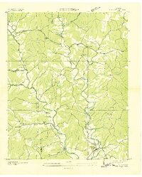
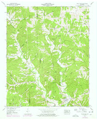
Historical Maps of Pinkney Through Time
3 maps found