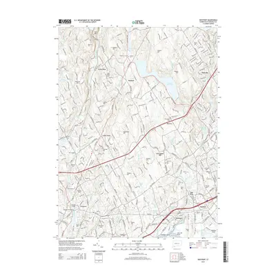
2015 Map of Westport
USGS Topo · Published 2015About this map
Westport and Fairfield occupy a densely populated landscape shaped by coastal topography and historic transit corridors. The Metro-North railroad line runs parallel to the shore, passing through Southport and connecting these commuter hubs. The terrain is defined by a series of named elevations such as Turkey Hill, Greenfield Hill, and Sasco Hill, which rise above the coastal plain and the intricate waterways of Southport Harbor.
Find a feature on this map
113 named features on this map. Tap any name to fly to it.
Don’t see what you’re looking for? This feature index may not catch every label — zoom into the map to look around manually.
Map Details
Editions of this 2015 Westport Map
This is the sole edition of this map. No revisions or reprints were ever made.
Other maps of this area

1889 · Derby
USGS Topo · 1:62,500

1891 · Bridgeport
USGS Topo · 1:62,500

1891 · Derby
USGS Topo · 1:62,500

1892 · Danbury
USGS Topo · 1:62,500

1892 · Norwalk
USGS Topo · 1:62,500

1893 · Bridgeport
USGS Topo · 1:62,500

1893 · Norwalk
USGS Topo · 1:62,500

1893 · Derby
USGS Topo · 1:62,500

1915 · Danbury
USGS Topo · 1:62,500

1920 · Bridgeport
USGS Topo · 1:62,500