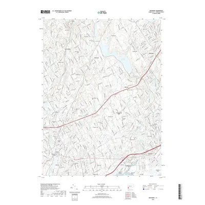
2018 Map of Westport
USGS Topo · Published 2018About this map
The coastal and inland landscapes of Fairfield County are meticulously documented in this survey, showcasing the dense network of historic settlements and water resources. The Saugatuck River and Aspetuck River flow south toward the Long Island Sound, feeding into major infrastructure like the Hemlock Reservoir and Easton Reservoir. These water bodies, along with numerous ponds such as Banks Pond and Bulkley Pond, have long defined the residential and industrial character of the region. The map reveals a high concentration of established burial grounds, including the Willowbrook and Greenfield Hill cemeteries, which serve as vital markers for genealogical research in this long-settled corner of Connecticut.
Find a feature on this map
72 named features on this map. Tap any name to fly to it.
Don’t see what you’re looking for? This feature index may not catch every label — zoom into the map to look around manually.
Map Details
Editions of this 2018 Westport Map
This is the sole edition of this map. No revisions or reprints were ever made.
Other maps of this area

1889 · Derby
USGS Topo · 1:62,500

1891 · Bridgeport
USGS Topo · 1:62,500

1891 · Derby
USGS Topo · 1:62,500

1892 · Danbury
USGS Topo · 1:62,500

1892 · Norwalk
USGS Topo · 1:62,500

1893 · Bridgeport
USGS Topo · 1:62,500

1893 · Norwalk
USGS Topo · 1:62,500

1893 · Derby
USGS Topo · 1:62,500

1915 · Danbury
USGS Topo · 1:62,500

1920 · Bridgeport
USGS Topo · 1:62,500