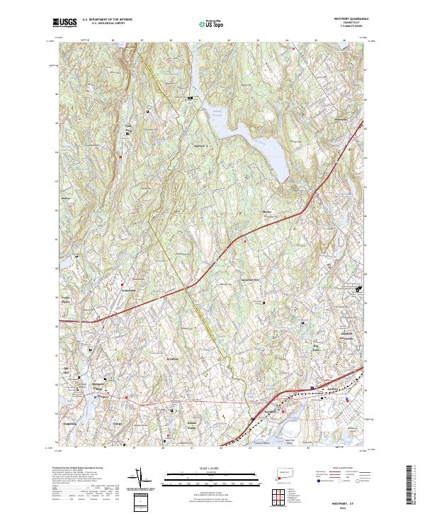
2024 Map of Westport
USGS Topo · Published 2024About this map
The coastal shelf of the Long Island Sound meets a landscape of interior ridges and reservoirs in this recent survey of Fairfield County. Centered on the dense development of Westport and Southport, the map reveals a meticulously preserved suburban environment where local history is clearly marked by a high concentration of burial grounds, including the Bikur Cholim Cem and Green Farms Upper Cem. The coastal infrastructure is defined by the Metro-North Railroad corridor and historic crossings near Southport Harbor, while the inland reaches are dominated by the Saugatuck Reservoir and Hemlock Reservoir.
Find a feature on this map
100 named features on this map. Tap any name to fly to it.
Don’t see what you’re looking for? This feature index may not catch every label — zoom into the map to look around manually.
Map Details
Editions of this 2024 Westport Map
This is the sole edition of this map. No revisions or reprints were ever made.
Other maps of this area

1889 · Derby
USGS Topo · 1:62,500

1891 · Bridgeport
USGS Topo · 1:62,500

1891 · Derby
USGS Topo · 1:62,500

1892 · Danbury
USGS Topo · 1:62,500

1892 · Norwalk
USGS Topo · 1:62,500

1893 · Bridgeport
USGS Topo · 1:62,500

1893 · Norwalk
USGS Topo · 1:62,500

1893 · Derby
USGS Topo · 1:62,500

1915 · Danbury
USGS Topo · 1:62,500

1920 · Bridgeport
USGS Topo · 1:62,500