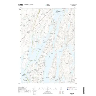
2018 Map of Westport
USGS Topo · Published 2018About this map
Westport island and the surrounding Lincoln County shoreline are defined by a complex network of tidal inlets and narrow channels, including the Sheepscot River and the Back River. The landscape is dotted with family cemeteries that speak to generations of local settlement, such as the Booth Harrison Ward Cemeteries and the McKinney Daughters Cem near Willis Point. These small burial grounds are scattered across the islands and peninsulas, often tucked away near landforms like Chewonki Neck or Tyler Hill.
Find a feature on this map
227 named features on this map. Tap any name to fly to it.
Don’t see what you’re looking for? This feature index may not catch every label — zoom into the map to look around manually.
Map Details
Editions of this 2018 Westport Map
This is the sole edition of this map. No revisions or reprints were ever made.
Other maps of this area

1892 · Gardiner
USGS Topo · 1:62,500

1893 · Wiscasset
USGS Topo · 1:62,500

1893 · Boothbay
USGS Topo · 1:62,500

1894 · Bath
USGS Topo · 1:62,500

1920 · Bath
USGS Topo · 1:62,500

1941 · Boothbay
USGS Topo · 1:62,500

1943 · Gardiner
USGS Topo · 1:62,500

1943 · Boothbay
USGS Topo · 1:62,500

1944 · Wiscasset
USGS Topo · 1:62,500

1944 · Boothbay
USGS Topo · 1:62,500