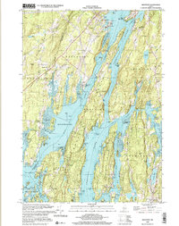
2000 Map of Westport
USGS Topo · Published 2001About this map
Sheepscot River and its intricate network of tidal channels define this coastal landscape on the edge of Lincoln and Sagadahoc counties. The map details the elongated landmass of Westport, where Middle Road serves as the primary artery connecting the community's rural dwellings and the Westport Ch. To the north, North Edgecomb sits near the historic Fort Edgecomb State Park on Davis Island, guarding the strategic waters of The Eddy.
Find a feature on this map
104 named features on this map. Tap any name to fly to it.
Don’t see what you’re looking for? This feature index may not catch every label — zoom into the map to look around manually.
Map Details
Editions of this 2000 Westport Map
This is the sole edition of this map. No revisions or reprints were ever made.
Other maps of this area
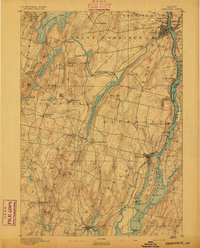
1892 · Gardiner
USGS Topo · 1:62,500
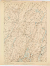
1893 · Wiscasset
USGS Topo · 1:62,500
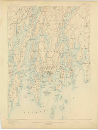
1893 · Boothbay
USGS Topo · 1:62,500
1894 · Bath
USGS Topo · 1:62,500
1920 · Bath
USGS Topo · 1:62,500
1941 · Boothbay
USGS Topo · 1:62,500
1943 · Gardiner
USGS Topo · 1:62,500
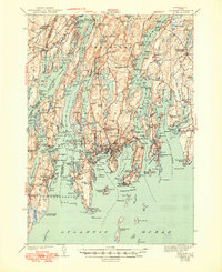
1943 · Boothbay
USGS Topo · 1:62,500
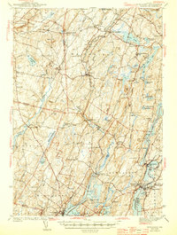
1944 · Wiscasset
USGS Topo · 1:62,500
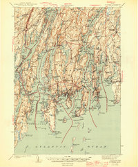
1944 · Boothbay
USGS Topo · 1:62,500