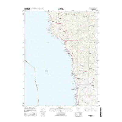
2015 Map of Westport
USGS Topo · Published 2015About this map
The rugged Mendocino coastline is the focal point of this coastal study, where N Highway 1 winds along the cliffs connecting historic timber and maritime settlements. Westport serves as the primary hub at the southern end, while smaller locales like DeHaven, Union Landing, and Hardy mark the northward progression toward Rockport. The map reveals a complex drainage network where steep gulches and creeks meet the Pacific, including Wages Creek, DeHaven Creek, and the multiple branches of Hardy Creek. High points such as Bell Mtn and Gordon Hill overlook the shore, while offshore landmarks like Cottaneva Needle, Sea Lion Rock, and Cape Vizcaino define the maritime hazards. Genealogists and local historians can locate the Westport Cemetery and trace the original land divisions of T22N and T21N across ridges like Cottaneva Ridge and Lincoln Ridge.
Find a feature on this map
65 named features on this map. Tap any name to fly to it.
Don’t see what you’re looking for? This feature index may not catch every label — zoom into the map to look around manually.
Map Details
Editions of this 2015 Westport Map
This is the sole edition of this map. No revisions or reprints were ever made.
Other maps of this area

1920 · Cummings
USGS Topo · 1:62,500

1921 · Westport
USGS Topo · 1:62,500

1921 · Branscomb
USGS Topo · 1:62,500

1950 · Piercy
USGS Topo · 1:62,500

1950 · Cape Vizcaino
USGS Topo · 1:62,500

1951 · Cape Vizcaino
USGS Topo · 1:62,500

1951 · Branscomb
USGS Topo · 1:62,500

1952 · Leggett
USGS Topo · 1:62,500

1957 · Ukiah
USGS Topo · 1:250,000

1960 · Ukiah
USGS Topo · 1:250,000