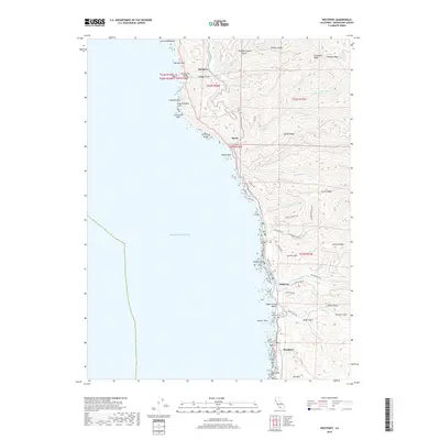
2018 Map of Westport
USGS Topo · Published 2018About this map
The Westport shoreline of northern Mendocino County is defined by its dramatic interaction with the Pacific Ocean, where steep ridges like Alviso Ridge and Hardy Ridge drop toward a jagged coastline of sea stacks and arches. This 2018 survey reveals a landscape of small coastal settlements and steep gulches, including Rockport at the mouth of Cottaneva Creek and the southern hamlet of Westport. The map identifies numerous family and place-named landmarks like Cottaneva Needle, Sea Lion Rock, and Cape Vizcaino Arch. Transportation follows the contours of the land, with Branscomb Road winding through the hills while Westport-Union Landing State Park preserves the bluff-top views. Genealogists can find the Westport Cemetery perched above the ocean, while the map's hydrography details several drainage systems, such as Hardy Creek and Wages Creek, that have shaped the region's topography and settlement patterns.
Find a feature on this map
67 named features on this map. Tap any name to fly to it.
Don’t see what you’re looking for? This feature index may not catch every label — zoom into the map to look around manually.
Map Details
Editions of this 2018 Westport Map
This is the sole edition of this map. No revisions or reprints were ever made.
Other maps of this area

1920 · Cummings
USGS Topo · 1:62,500

1921 · Westport
USGS Topo · 1:62,500

1921 · Branscomb
USGS Topo · 1:62,500

1950 · Piercy
USGS Topo · 1:62,500

1950 · Cape Vizcaino
USGS Topo · 1:62,500

1951 · Cape Vizcaino
USGS Topo · 1:62,500

1951 · Branscomb
USGS Topo · 1:62,500

1952 · Leggett
USGS Topo · 1:62,500

1957 · Ukiah
USGS Topo · 1:250,000

1960 · Ukiah
USGS Topo · 1:250,000