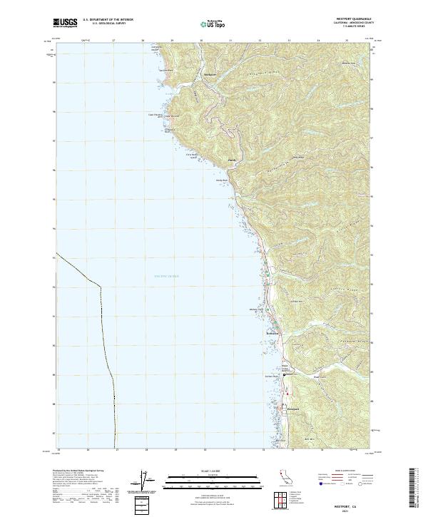
2021 Map of Westport
USGS Topo · Published 2021About this map
Westport and the surrounding coastline of Mendocino County anchor this 2021 topographic record. The settlement pattern follows the rugged North Coast, where small communities like Rockport, Hardy, and DeHaven are connected by narrow roads winding through significant elevations. The terrain is defined by steep ridges, including Lincoln Ridge and Alviso Ridge, which drop sharply into the Pacific Ocean. Numerous drainages such as Wages Creek and Cottaneva Creek have carved deep valleys and gulches like Dodge Gulch and Slaughterhouse Gulch as they flow toward the sea.
Find a feature on this map
63 named features on this map. Tap any name to fly to it.
Don’t see what you’re looking for? This feature index may not catch every label — zoom into the map to look around manually.
Map Details
Editions of this 2021 Westport Map
This is the sole edition of this map. No revisions or reprints were ever made.
Other maps of this area

1920 · Cummings
USGS Topo · 1:62,500

1921 · Westport
USGS Topo · 1:62,500

1921 · Branscomb
USGS Topo · 1:62,500

1950 · Piercy
USGS Topo · 1:62,500

1950 · Cape Vizcaino
USGS Topo · 1:62,500

1951 · Cape Vizcaino
USGS Topo · 1:62,500

1951 · Branscomb
USGS Topo · 1:62,500

1952 · Leggett
USGS Topo · 1:62,500

1957 · Ukiah
USGS Topo · 1:250,000

1960 · Ukiah
USGS Topo · 1:250,000