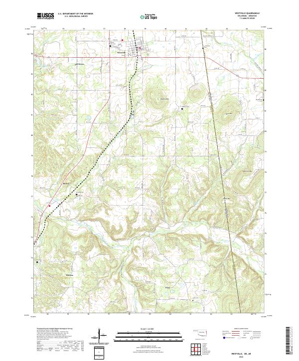
2022 Map of Westville
USGS Topo · Published 2022About this map
The town of Westville sits at the northern end of this corridor along the border of Adair County, Oklahoma, and Washington County, Arkansas. This landscape is defined by the winding course of the Baron Fork and its numerous tributaries, including Shell Br and Peavine Cr. The area is dotted with small rural communities such as Baron, Peavine, Old Green, and Piney, each reflecting the dispersed agricultural and residential patterns of the region. A significant number of family and community burial grounds are mapped here, including the Baptist Mission Cem, Crittenden Cem, and Terrell Cem, which serve as vital markers for local genealogical research. Distinctive topographic features rise above the creek valleys, most notably Alberty Mtn, West Mtn, and Snake Mtn. The map also highlights the state line's path as it cuts through these highlands, separating the Oklahoma settlements from the Arkansas ridges near Sugarfree Mtn.
Find a feature on this map
71 named features on this map. Tap any name to fly to it.
Don’t see what you’re looking for? This feature index may not catch every label — zoom into the map to look around manually.
Map Details
Editions of this 2022 Westville Map
This is the sole edition of this map. No revisions or reprints were ever made.
Other maps of this area

1898 · Tahlequah
USGS Topo · 1:125,000

1898 · Winslow
USGS Topo · 1:125,000

1899 · Fayetteville
USGS Topo · 1:125,000

1899 · Siloam Springs
USGS Topo · 1:125,000

1901 · Winslow
USGS Topo · 1:125,000

1901 · Fayetteville
USGS Topo · 1:125,000

1901 · Tahlequah
USGS Topo · 1:125,000

1903 · Siloam Springs
USGS Topo · 1:125,000

1904 · Siloam Springs
USGS Topo · 1:125,000

1904 · Fayetteville
USGS Topo · 1:125,000