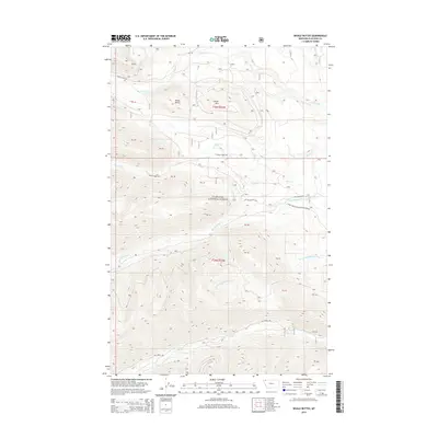
2014 Map of Whale Buttes
USGS Topo · Published 2014About this map
Flathead National Forest land defines this portion of Northwest Montana, where high-elevation summits and creek drainages dictate the travel corridors of the early 21st century. The prominent peaks of Whale Buttes and Center Mtn dominate the northern terrain, separated by the deep valley of Whale Creek. Below these heights, a network of forest development routes follows the natural contours of the land, including Whale Creek Rd and Moose Creek Rd. The drainage patterns are clearly defined by Red Meadow Creek and its tributary, the S Fork Red Meadow Cr, providing a detailed look at the watershed before it reaches lower valleys. This map captures the region's character as a managed wilderness area, where logging and forest access roads like the Natl Forest Develop Road 1685 Rd intersect with the pristine waters of Hay Creek and Hawk Creek.
Find a feature on this map
17 named features on this map. Tap any name to fly to it.
Don’t see what you’re looking for? This feature index may not catch every label — zoom into the map to look around manually.
Map Details
Editions of this 2014 Whale Buttes Map
This is the sole edition of this map. No revisions or reprints were ever made.
Other maps of this area

1906 · Kintla Lakes
USGS Topo · 1:125,000

1913 · Stryker
USGS Topo · 1:125,000

1916 · Stryker
USGS Topo · 1:125,000

1938 · Kintla Lakes
USGS Topo · 1:125,000

1957 · Kalispell
USGS Topo · 1:250,000

1960 · Kalispell
USGS Topo · 1:250,000

1961 · Kalispell
USGS Topo · 1:250,000

1966 · Red Meadow Lake
USGS Topo · 1:24,000

1966 · Kintla Lake
USGS Topo · 1:24,000

1966 · Mount Hefty
USGS Topo · 1:24,000