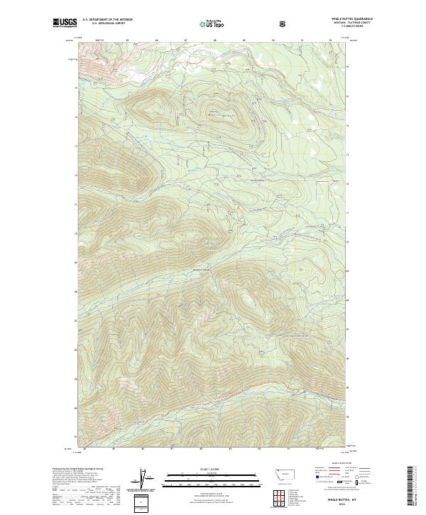
2024 Map of Whale Buttes
USGS Topo · Published 2024About this map
The Whitefish Range within the Flathead National Forest defines this high-elevation mountain landscape. This territory is marked by significant topographical relief, centered on the Whale Buttes and dissected by an intricate drainage system including Whale Creek, Moose Creek, and Red Meadow Creek. The mapping reveals a network of high-altitude accessibility through various forest development roads such as Natl Forest Develop Road 1681 RD and Nat For Dev Rd 1675. Recreation and passage through these peaks are anchored by the Pacific Northwest National Scenic Trl and the Moose Creek Trl, which provide a grounded look at the remote trail systems utilized by hikers and forest managers alike.
Find a feature on this map
25 named features on this map. Tap any name to fly to it.
Don’t see what you’re looking for? This feature index may not catch every label — zoom into the map to look around manually.
Map Details
Editions of this 2024 Whale Buttes Map
This is the sole edition of this map. No revisions or reprints were ever made.
Other maps of this area

1906 · Kintla Lakes
USGS Topo · 1:125,000

1913 · Stryker
USGS Topo · 1:125,000

1916 · Stryker
USGS Topo · 1:125,000

1938 · Kintla Lakes
USGS Topo · 1:125,000

1957 · Kalispell
USGS Topo · 1:250,000

1960 · Kalispell
USGS Topo · 1:250,000

1961 · Kalispell
USGS Topo · 1:250,000

1966 · Red Meadow Lake
USGS Topo · 1:24,000

1966 · Kintla Lake
USGS Topo · 1:24,000

1966 · Mount Hefty
USGS Topo · 1:24,000