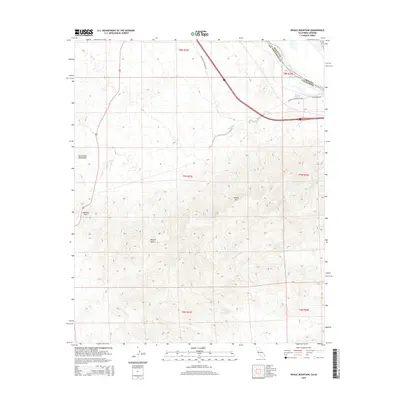
2015 Map of Whale Mountain
USGS Topo · Published 2015About this map
Whale Mtn dominates the high desert terrain of the Sacramento Mountains in this modern survey of the California-Arizona borderlands. The landscape is defined by its arid drainage systems, including the notable Bat Cave Wash and Mohave Wash, which carve through the Mojave Desert towards the eastern boundary. The map captures a critical transportation corridor where the National Old Trails Hwy and Park Moabi Rd intersect near the Colorado River. To the west, Lobecks Pass provides a transition through the mountain range, illustrating the enduring geographic constraints on travel through this part of San Bernardino County. This survey provides a precise view of the topography and modern infrastructure at the state line, reflecting the continued importance of these historical transit routes through the desert.
Find a feature on this map
17 named features on this map. Tap any name to fly to it.
Don’t see what you’re looking for? This feature index may not catch every label — zoom into the map to look around manually.
Map Details
Editions of this 2015 Whale Mountain Map
This is the sole edition of this map. No revisions or reprints were ever made.
Other maps of this area

1903 · Needles
USGS Topo · 1:125,000

1904 · Needles Special
USGS Topo · 1:125,000

1943 · Topock
USGS Topo · 1:62,500

1950 · Topock
USGS Topo · 1:62,500

1950 · Sawtooth Range
USGS Topo · 1:62,500

1950 · Needles
USGS Topo · 1:62,500

1951 · Topock
USGS Topo · 1:62,500

1951 · Sawtooth Range
USGS Topo · 1:62,500

1952 · Needles
USGS Topo · 1:62,500

1954 · Needles
USGS Topo · 1:250,000