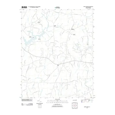
2010 Map of White Cross
USGS Topo · Published 2010About this map
White Cross serves as a central junction in this rural landscape, where state highways and local roads like White Cross Rd and Butler Rd intersect. The area is defined by its series of prominent hills including Thompson Mountain, Pickards Mountain, and Mitchell Mountain, which rise above the many drainages that feed the Haw River basin. Small, historic communities such as Orange Grove, Dodsons Crossroads, and Teer are scattered throughout the quadrangle, connected by a network of family-named roads like Arthur Minnis Rd and Trice Atwater Rd.
Find a feature on this map
86 named features on this map. Tap any name to fly to it.
Don’t see what you’re looking for? This feature index may not catch every label — zoom into the map to look around manually.
Map Details
Editions of this 2010 White Cross Map
This is the sole edition of this map. No revisions or reprints were ever made.
Other maps of this area

1946 · Chapel Hill
USGS Topo · 1:24,000

1947 · Chapel Hill
USGS Topo · 1:31,680

1951 · Farrington
USGS Topo · 1:24,000

1953 · Raleigh
USGS Topo · 1:250,000

1953 · Greensboro
USGS Topo · 1:250,000

1954 · Greensboro
USGS Topo · 1:250,000

1954 · Raleigh
USGS Topo · 1:250,000

1962 · Greensboro
USGS Topo · 1:250,000

1966 · Greensboro
USGS Topo · 1:250,000

1968 · White Cross
USGS Topo · 1:24,000