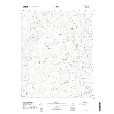
2019 Map of White Cross
USGS Topo · Published 2019About this map
Thompson Mtn and Mitchell Mtn rise above the rolling landscape of western Orange County, anchoring a terrain defined by rural crossroads and winding creek beds. This 2019 survey captures the area at the border of Orange Co and Chatham Co, where established communities like Orange Grove and Dodsons Crossroads serve as navigational hubs for a network of country lanes. The drainage patterns of Cane Creek and Morgan Cr reveal the natural contours of the Piedmont, while landmarks such as Orange Chapel and the Judea Reform Congregation Cem near Terrells Mtn provide essential points of reference for local family history. The settlement at White Cross remains a central feature, situated among the headwaters of numerous small runs like Wildcat Br and Phils Cr that have shaped the agricultural and residential development of the region over generations.
Find a feature on this map
155 named features on this map. Tap any name to fly to it.
Don’t see what you’re looking for? This feature index may not catch every label — zoom into the map to look around manually.
Map Details
Editions of this 2019 White Cross Map
This is the sole edition of this map. No revisions or reprints were ever made.
Other maps of this area

1946 · Chapel Hill
USGS Topo · 1:24,000

1947 · Chapel Hill
USGS Topo · 1:31,680

1951 · Farrington
USGS Topo · 1:24,000

1953 · Raleigh
USGS Topo · 1:250,000

1953 · Greensboro
USGS Topo · 1:250,000

1954 · Greensboro
USGS Topo · 1:250,000

1954 · Raleigh
USGS Topo · 1:250,000

1962 · Greensboro
USGS Topo · 1:250,000

1966 · Greensboro
USGS Topo · 1:250,000

1968 · White Cross
USGS Topo · 1:24,000