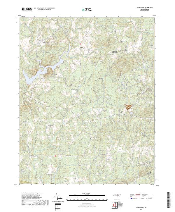
2022 Map of White Cross
USGS Topo · Published 2022About this map
The community of Orange Grove and the nearby Dodsons Crossroads anchor this Piedmont landscape, which is defined by a series of prominent peaks and the headwaters of numerous regional drainage systems. Several notable elevations rise above the surrounding terrain, including Thompson Mtn, Mitchell Mtn, and Pickards Mtn, creating a topography that funnels water into diverse basins. Waterways such as Cane Creek, Neville Cr, and Persimmon Nursery Br originate or flow through this area, illustrating the complex hydrology near the Orange Co and Chatham Co line.
Find a feature on this map
147 named features on this map. Tap any name to fly to it.
Don’t see what you’re looking for? This feature index may not catch every label — zoom into the map to look around manually.
Map Details
Editions of this 2022 White Cross Map
This is the sole edition of this map. No revisions or reprints were ever made.
Other maps of this area

1946 · Chapel Hill
USGS Topo · 1:24,000

1947 · Chapel Hill
USGS Topo · 1:31,680

1951 · Farrington
USGS Topo · 1:24,000

1953 · Raleigh
USGS Topo · 1:250,000

1953 · Greensboro
USGS Topo · 1:250,000

1954 · Greensboro
USGS Topo · 1:250,000

1954 · Raleigh
USGS Topo · 1:250,000

1962 · Greensboro
USGS Topo · 1:250,000

1966 · Greensboro
USGS Topo · 1:250,000

1968 · White Cross
USGS Topo · 1:24,000