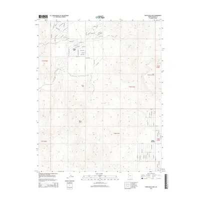
2014 Map of White Hills East
USGS Topo · Published 2014About this map
White Hills serves as the focal point of this arid landscape, where a dense network of residential streets like W Bonanza Ave and N Senator Blvd indicates a pocket of modern development within the broader Mojave Desert. The topography transitions from the lower desert floor toward the elevated Table Mountain Plateau to the east. Water management in this high-desert environment is evidenced by features such as Skipper Tank and Valley Tank, alongside natural seeps like Red Willow Spring and Rock Spring. To the southeast, the edge of Dolan Springs appears, connected by thoroughfares such as Cyclopic Rd. The map illustrates the tension between expanding residential footprints and the stark, open terrain of the Colorado Plateau's edge.
Find a feature on this map
73 named features on this map. Tap any name to fly to it.
Don’t see what you’re looking for? This feature index may not catch every label — zoom into the map to look around manually.
Map Details
Editions of this 2014 White Hills East Map
This is the sole edition of this map. No revisions or reprints were ever made.
Other maps of this area

1886 · Camp Mohave
USGS Topo · 1:250,000

1892 · Camp Mohave
USGS Topo · 1:250,000

1942 · Camp Mohave
USGS Topo · 1:250,000

1947 · Kingman
USGS Topo · 1:250,000

1948 · Kingman
USGS Topo · 1:250,000

1954 · Kingman
USGS Topo · 1:250,000

1955 · Kingman
USGS Topo · 1:250,000

1958 · Kingman
USGS Topo · 1:250,000

1960 · Kingman
USGS Topo · 1:250,000
1960 · Senator Mountain
USGS Topo · 1:62,500