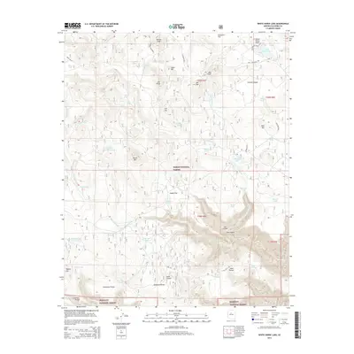
2014 Map of White Horse Lake
USGS Topo · Published 2014About this map
White Horse Lake and the high-elevation terrain of the Kaibab National Forest dominate this Coconino County landscape. The area is defined by a sophisticated network of water management features essential for ranching and forest management, including JD Dam Lake, Saginaw Tank, and Distribution Tank. The topography shifts from the open stretches of Sunflower Flat and Cobble Flat in the north to the dramatic descent of Tule Canyon and Lee Canyon in the south, where the boundary of the Prescott National Forest begins. Historic travel routes such as Old "127" Rd and Perkins Tank Road provide access to the interior, passing landmarks like Deadman Pocket and Indian Hill. This 2014 survey documents the modern state of these public lands, illustrating the naming conventions of the high desert and the persistent importance of isolated springs and tanks like Holloway Spring in an arid environment.
Find a feature on this map
61 named features on this map. Tap any name to fly to it.
Don’t see what you’re looking for? This feature index may not catch every label — zoom into the map to look around manually.
Map Details
Editions of this 2014 White Horse Lake Map
This is the sole edition of this map. No revisions or reprints were ever made.
Other maps of this area

1886 · San Francisco Mtns
USGS Topo · 1:250,000

1886 · Chino
USGS Topo · 1:250,000

1887 · Verde
USGS Topo · 1:250,000

1887 · Prescott
USGS Topo · 1:250,000

1891 · San Francisco Mtns
USGS Topo · 1:250,000

1891 · Chino
USGS Topo · 1:250,000

1892 · Verde
USGS Topo · 1:250,000

1892 · Prescott
USGS Topo · 1:250,000

1894 · San Francisco Mtns
USGS Topo · 1:250,000

1899 · San Francisco Mtns
USGS Topo · 1:250,000