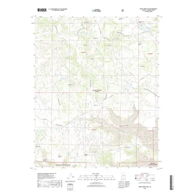
2018 Map of White Horse Lake
USGS Topo · Published 2018About this map
Kaibab National Forest and Prescott National Forest intersect in this high-altitude landscape, where the geography is defined by a sophisticated network of water catchment systems. Dozens of earthen tanks, such as Scar Tank, Perkins Tank, and Saginaw Tank, reflect the essential infrastructure required for ranching and wildlife management in this arid timberland. The presence of White Horse Lake and JD Dam Lake alongside numerous named tanks underscores the historical reliance on these artificial and improved water sources.
Find a feature on this map
71 named features on this map. Tap any name to fly to it.
Don’t see what you’re looking for? This feature index may not catch every label — zoom into the map to look around manually.
Map Details
Editions of this 2018 White Horse Lake Map
This is the sole edition of this map. No revisions or reprints were ever made.
Other maps of this area

1886 · San Francisco Mtns
USGS Topo · 1:250,000

1886 · Chino
USGS Topo · 1:250,000

1887 · Verde
USGS Topo · 1:250,000

1887 · Prescott
USGS Topo · 1:250,000

1891 · San Francisco Mtns
USGS Topo · 1:250,000

1891 · Chino
USGS Topo · 1:250,000

1892 · Verde
USGS Topo · 1:250,000

1892 · Prescott
USGS Topo · 1:250,000

1894 · San Francisco Mtns
USGS Topo · 1:250,000

1899 · San Francisco Mtns
USGS Topo · 1:250,000