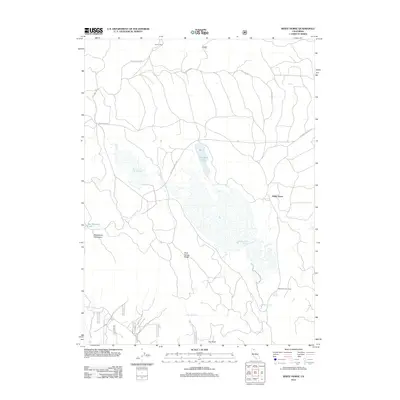
2012 Map of White Horse
USGS Topo · Published 2012About this map
White Horse sits at the heart of this high-desert landscape in Modoc County, defined by a network of seasonal water sources and logging history. The area's complex topography is marked by the Whitehorse Mountains and the long expanse of Mud Spring Ridge, while the northern portion is dominated by the volcanic terrain of Lava Rim Rd and the distinctive Hole In Rock. Significant infrastructure for land management is evident through the Whitehorse Flat Reservoir and Barnum Flat Reservoir, which collect water in an otherwise arid environment. This 2012 survey illustrates the intersection of ranching and forestry, noting features like McArthur Cow Camp and Loveness Logging Rd. Local water history is preserved in the names of natural sites like Mosquito Lake, Whipple Springs, and Bowman Springs, alongside geologically significant landmarks such as Day Rock.
Find a feature on this map
19 named features on this map. Tap any name to fly to it.
Don’t see what you’re looking for? This feature index may not catch every label — zoom into the map to look around manually.
Map Details
Editions of this 2012 White Horse Map
This is the sole edition of this map. No revisions or reprints were ever made.
Other maps of this area

1886 · Modoc Lava Bed
USGS Topo · 1:250,000

1892 · Modoc Lava-Bed
USGS Topo · 1:250,000

1932 · Bartle
USGS Topo · 1:96,000

1939 · Bartle
USGS Topo · 1:125,000

1954 · Alturas
USGS Topo · 1:250,000

1958 · Alturas
USGS Topo · 1:250,000

1961 · Hambone
USGS Topo · 1:62,500

1961 · Pondosa
USGS Topo · 1:62,500

1961 · Fall River Mills
USGS Topo · 1:62,500

1962 · Alturas
USGS Topo · 1:250,000