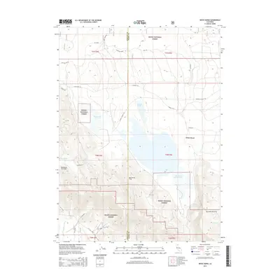
2015 Map of White Horse
USGS Topo · Published 2015About this map
White Horse and the surrounding timberlands sit at the convergence of the Modoc National Forest and Shasta National Forest. This high-country landscape is defined by its water management and logging infrastructure, featuring significant catchments like Barnum Flat Reservoir and Whitehorse Flat Reservoir. The map documents a working forest economy through the presence of Loveness Logging Rd and several spurs, including Sec 36 Spur. Local history is anchored by the Pit Wiley Ranch in the south and the site of Old Camp 2 to the north, reflecting a long-standing pattern of ranching and remote camp life. Distinctive geological features such as the Lava Rim and Mud Spring Ridge frame the drainage basins of Mosquito Lake and Wet Weather Lake, while numerous water sources like Whipple Springs and Mud Springs provide vital points of interest for genealogists and local historians tracking historical land use.
Find a feature on this map
40 named features on this map. Tap any name to fly to it.
Don’t see what you’re looking for? This feature index may not catch every label — zoom into the map to look around manually.
Map Details
Editions of this 2015 White Horse Map
This is the sole edition of this map. No revisions or reprints were ever made.
Other maps of this area

1886 · Modoc Lava Bed
USGS Topo · 1:250,000

1892 · Modoc Lava-Bed
USGS Topo · 1:250,000

1932 · Bartle
USGS Topo · 1:96,000

1939 · Bartle
USGS Topo · 1:125,000

1954 · Alturas
USGS Topo · 1:250,000

1958 · Alturas
USGS Topo · 1:250,000

1961 · Hambone
USGS Topo · 1:62,500

1961 · Pondosa
USGS Topo · 1:62,500

1961 · Fall River Mills
USGS Topo · 1:62,500

1962 · Alturas
USGS Topo · 1:250,000