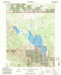
1993 Map of White Horse
USGS Topo · Published 1997About this map
The Whitehorse Flat Reservoir and the adjacent Boles Flat Reservoir dominate this high-desert terrain where the borders of Siskiyou and Modoc counties meet. In the early 1990s, this landscape within the Modoc National Forest and Shasta National Forest reflects a history of both natural water management and industrial transit. Abandoned transport corridors are evident through several segments of Old Railroad Grade and Old Railroad Grades that once served the region's timber or ranching interests.
Find a feature on this map
22 named features on this map. Tap any name to fly to it.
Don’t see what you’re looking for? This feature index may not catch every label — zoom into the map to look around manually.
Map Details
Editions of this 1993 White Horse Map
2 editions found
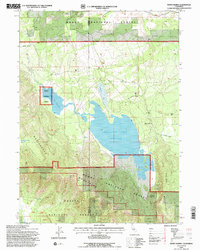
Other maps of this area

1886 · Modoc Lava Bed
USGS Topo · 1:250,000

1892 · Modoc Lava-Bed
USGS Topo · 1:250,000

1932 · Bartle
USGS Topo · 1:96,000

1939 · Bartle
USGS Topo · 1:125,000

1954 · Alturas
USGS Topo · 1:250,000

1958 · Alturas
USGS Topo · 1:250,000

1961 · Hambone
USGS Topo · 1:62,500

1961 · Pondosa
USGS Topo · 1:62,500

1961 · Fall River Mills
USGS Topo · 1:62,500

1962 · Alturas
USGS Topo · 1:250,000