Loading...
Loading map...2022 Map of White Oak
USGS Topo · Published 2022About this map
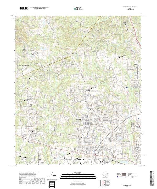
White Oak and the northern outskirts of Longview anchor this modern survey of the Upshur and Gregg county line. The landscape is defined by its residential growth and numerous community landmarks, particularly the concentration of local cemeteries that trace the area's genealogical roots. Significant sites include the East Mountain Baptist Church Cem and the Shiloh Baptist Church Cem, which serve as anchors for their respective settlements.
Find a feature on this map
320 named features on this map. Tap any name to fly to it.
Don’t see what you’re looking for? This feature index may not catch every label — zoom into the map to look around manually.
Map Details
Date Portrayed2022
Date Published2022
PublisherU.S. Geological Survey
Map TypeTopographic
Scale1:24000
Physical Dimensions24 x 29 inches
Editions of this 2022 White Oak Map
This is the sole edition of this map. No revisions or reprints were ever made.
Historical Maps of Clarksville City Through Time
Featured Locations
Source Details
SourceU.S. Geological Survey
CopyrightPublic Domain