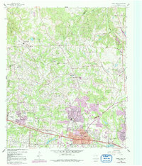
1960 Map of White Oak
USGS Topo · Published 1992About this map
Longview and its surrounding communities are documented here during a period of significant mid-century expansion across the Upshur and Gregg County line. The landscape is defined by the heavy presence of the petroleum industry, evidenced by the Warren Refinery, the Arkansas Gasoline Plant, and numerous oil wells and tank farms scattered between White Oak and Spring Hill. These industrial hubs are supported by workers' residential clusters like Amerada Camp and Atlantic Camp.
Find a feature on this map
61 named features on this map. Tap any name to fly to it.
Don’t see what you’re looking for? This feature index may not catch every label — zoom into the map to look around manually.
Map Details
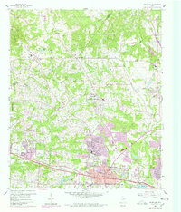
Editions of this 1960 White Oak Map
Other maps of this area

1936 · Kilgore
USGS Topo · 1:48,000

1940 · Kilgore
USGS Topo · 1:62,500

1956 · Tyler
USGS Topo · 1:250,000

1958 · Tatum
USGS Topo · 1:62,500

1960 · White Oak
USGS Topo · 1:24,000

1960 · Gilmer
USGS Topo · 1:24,000

1960 · Glenwood
USGS Topo · 1:24,000

1960 · Gladewater
USGS Topo · 1:24,000

1962 · Ashland
USGS Topo · 1:24,000

1962 · Longview Heights
USGS Topo · 1:24,000