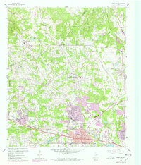
1960 Map of White Oak
USGS Topo · Published 1978About this map
Longview expands westward toward White Oak in this mid-century look at the East Texas oil fields and developing suburbs. The landscape is defined by its industrial roots, shown through the Warren Refinery, the Arkansas Gasoline Plant, and corporate housing areas like Amerada Camp and Atlantic Camp. Transportation and energy infrastructure dominate the terrain, with the Texas and Pacific railroad cutting through the southern half and numerous oil and gas wells dotting the hills between Grace Creek and Hawkins Creek. Small community centers such as Spring Hill and Seven Pines provide local landmarks among the wooded ridges and creek branches. Longstanding local institutions like Sabine Valley School and the Hunter Cemetery offer points of interest for those researching the genealogical history of the area before modern commercial expansion transformed these rural corridors into major residential districts.
Find a feature on this map
65 named features on this map. Tap any name to fly to it.
Don’t see what you’re looking for? This feature index may not catch every label — zoom into the map to look around manually.
Map Details
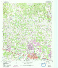
Editions of this 1960 White Oak Map
Other maps of this area

1936 · Kilgore
USGS Topo · 1:48,000

1940 · Kilgore
USGS Topo · 1:62,500

1956 · Tyler
USGS Topo · 1:250,000

1958 · Tatum
USGS Topo · 1:62,500

1960 · White Oak
USGS Topo · 1:24,000

1960 · Gilmer
USGS Topo · 1:24,000

1960 · Glenwood
USGS Topo · 1:24,000

1960 · Gladewater
USGS Topo · 1:24,000

1962 · Ashland
USGS Topo · 1:24,000

1962 · Longview Heights
USGS Topo · 1:24,000