
1962 Map of Longview Heights
USGS Topo · Published 1964About this map
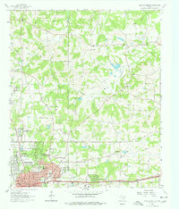
Longview expands eastward into Harrison County in this early 1960s portrait of a landscape transitioning between industry and residential growth. The southern portion of the sheet is dominated by the emerging neighborhoods of Oakland Heights and Longview Heights, where schools like Bramlette Sch and Valley View Sch serve a growing population. This development sits alongside an active Gas Field and a network of pipelines, highlighting the region's reliance on energy extraction.
Find a feature on this map
40 named features on this map. Tap any name to fly to it.
Don’t see what you’re looking for? This feature index may not catch every label — zoom into the map to look around manually.
Map Details
Editions of this 1962 Longview Heights Map
3 editions found
Other maps of this area

1936 · Kilgore
USGS Topo · 1:48,000

1940 · Kilgore
USGS Topo · 1:62,500

1956 · Tyler
USGS Topo · 1:250,000

1958 · Tatum
USGS Topo · 1:62,500

1960 · White Oak
USGS Topo · 1:24,000

1960 · Glenwood
USGS Topo · 1:24,000

1961 · Hallsville
USGS Topo · 1:24,000

1961 · Harleton
USGS Topo · 1:24,000

1962 · Ashland
USGS Topo · 1:24,000

1971 · Kilgore NE
USGS Topo · 1:24,000