
1961 Map of Harleton
USGS Topo · Published 1964About this map
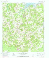
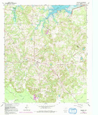
The northern reaches of Harrison County are defined by the recently established shoreline of Lake O' the Pines, which stretches across the upper margin of the map following its 1958 inundation. This rural landscape is anchored by Harleton, where a local Refinery and a network of secondary roads suggest a mid-century economy balancing small-town life with industrial activity. The area is heavily marked by its spiritual and genealogical heritage, featuring numerous country congregations and burying grounds such as Macedonia Ch and the adjacent Macedonia Cem. To the south, the terrain descends toward the meandering Little Cypress Bayou and Moccasin Creek, which drain the wooded hills. The map captures a moment when the new reservoir had just begun to transform the local geography, creating recreational zones like the West Abutment Recreational Area near the Marion and Harrison County line.
Find a feature on this map
26 named features on this map. Tap any name to fly to it.
Don’t see what you’re looking for? This feature index may not catch every label — zoom into the map to look around manually.
Map Details
Editions of this 1961 Harleton Map
3 editions found
Other maps of this area

1956 · Tyler
USGS Topo · 1:250,000

1961 · Hallsville
USGS Topo · 1:24,000

1961 · Lassater
USGS Topo · 1:24,000

1962 · Kellyville
USGS Topo · 1:24,000

1962 · Marshall NW
USGS Topo · 1:24,000

1962 · Marshall West
USGS Topo · 1:24,000

1962 · Ashland
USGS Topo · 1:24,000

1962 · Longview Heights
USGS Topo · 1:24,000

1962 · Ore City
USGS Topo · 1:24,000

1984 · Tyler
USGS Topo · 1:250,000