
1962 Map of Kellyville
USGS Topo · Published 1963About this map
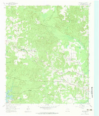
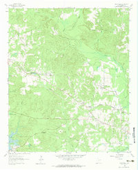
Kellyville and its surrounding Marion County bottomlands are defined by the winding course of Black Cypress Bayou and the expanding reach of Lake O' The Pines. This early 1960s landscape shows a transition between traditional rural life and modern infrastructure, where established sites like the Jefferson Rural Academy and Morning Star Church stand alongside newer industrial markings such as an Oil Well and a prominent Radio Tower.
Find a feature on this map
28 named features on this map. Tap any name to fly to it.
Don’t see what you’re looking for? This feature index may not catch every label — zoom into the map to look around manually.
Map Details
Editions of this 1962 Kellyville Map
Other maps of this area

1956 · Tyler
USGS Topo · 1:250,000

1961 · Cunningham Creek
USGS Topo · 1:24,000

1961 · Lassater
USGS Topo · 1:24,000

1961 · Harleton
USGS Topo · 1:24,000

1962 · Lanier
USGS Topo · 1:24,000

1962 · Marshall NW
USGS Topo · 1:24,000

1962 · Woodlawn
USGS Topo · 1:24,000

1962 · Jefferson
USGS Topo · 1:24,000

1962 · Avinger
USGS Topo · 1:24,000

1984 · Tyler
USGS Topo · 1:250,000