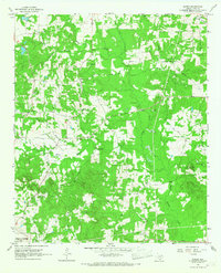
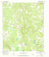
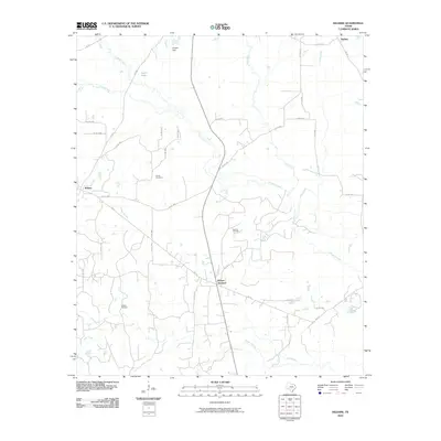
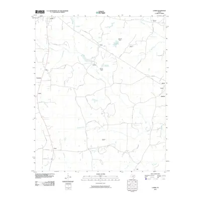
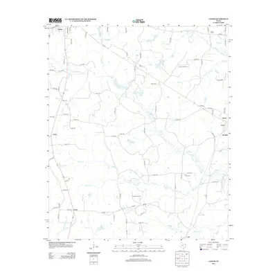
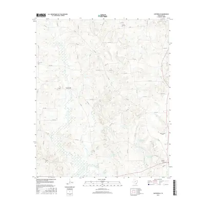
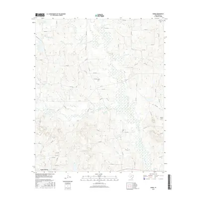
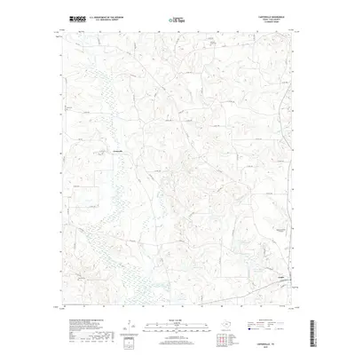
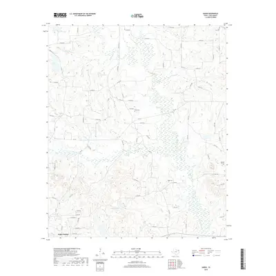
1962 Map of Lanier
USGS Topo · Published 1963About this map
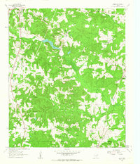
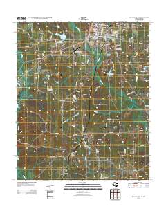
Linden and the surrounding piney woods of East Texas are defined here by a mid-century economy of natural resource extraction and rural community hubs. Extensive Strip Mines and the Linden East Oil Field underscore the industrial character of the landscape, while Iron Ore Lake provides a central water feature amidst the complex drainage of Jim Bayou and Wilburn Creek. For local history, the map preserves the locations of numerous country churches and cemeteries, including Salem Ch, Shiloh Ch, and Mt Zion Cem. The presence of the Linden-Kildare High Sch and several small settlements like Lanier and Kildare illustrate the social geography of the county during the early 1960s. The Texas and Pacific railroad line cuts through the southeastern corner, serving the Kildare Oil Field and connecting these remote communities to the broader regional network.
Find a feature on this map
43 named features on this map. Tap any name to fly to it.
Don’t see what you’re looking for? This feature index may not catch every label — zoom into the map to look around manually.
Map Details
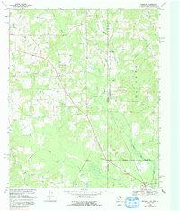
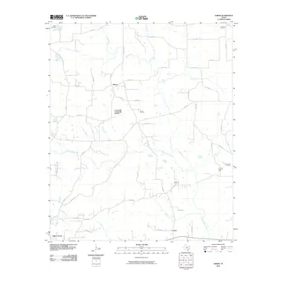
Editions of this 1962 Lanier Map
This is the sole edition of this map. No revisions or reprints were ever made.
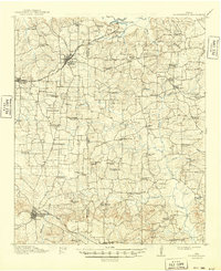
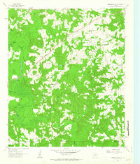
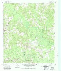
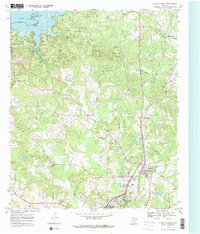
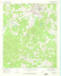
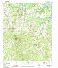
Historical Maps of Linden Through Time
50 maps found
1914 Daingerfeild
Cass County, TX
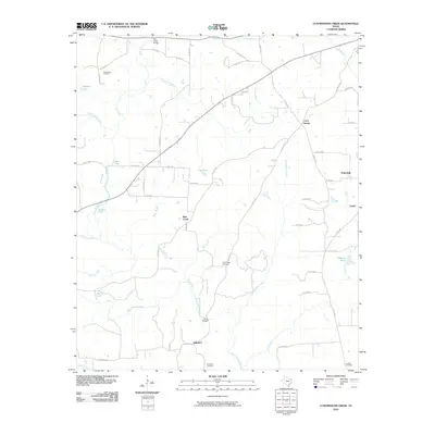
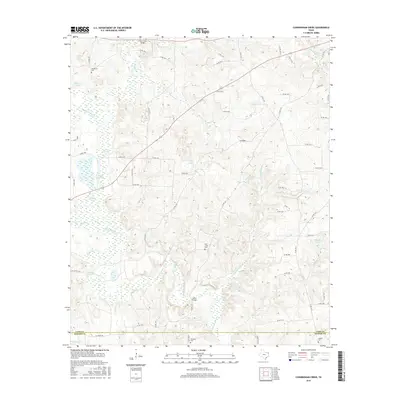
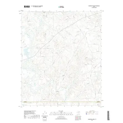
1961 Cunningham Creek
Cass County, TX
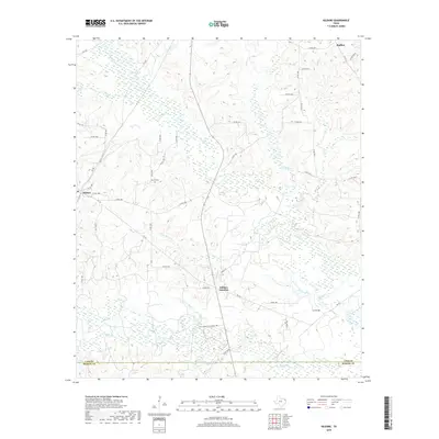
1962 Kildare
Cass County, TX
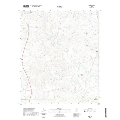
1962 Lanier
Cass County, TX
1965 Sardis
Cass County, TX
1969 Atlanta North
Cass County, TX
1969 Atlanta South
Cass County, TX
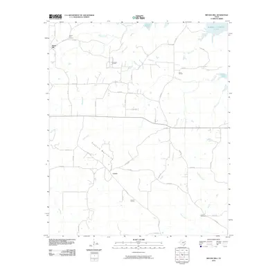
1969 Bryans Mill
Cass County, TX
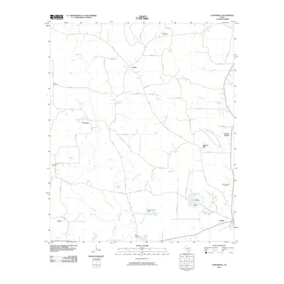
1969 Carterville
Cass County, TX
1969 Ravanna
Cass County, TX
2010 Atlanta North
Cass County, TX
2010 Atlanta South
Cass County, TX
2010 Bryans Mill
Cass County, TX
2010 Carterville
Cass County, TX
2010 Cunningham Creek
Cass County, TX
2010 Kildare
Cass County, TX
2010 Lanier
Cass County, TX
2010 Sardis
Cass County, TX
2012 Atlanta North
Cass County, TX
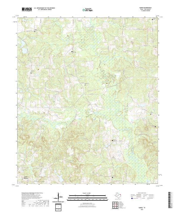
2012 Sardis
Cass County, TX
2013 Atlanta South
Cass County, TX

2013 Bryans Mill
Cass County, TX
2013 Carterville
Cass County, TX
2013 Cunningham Creek
Cass County, TX
2013 Kildare
Cass County, TX
2013 Lanier
Cass County, TX
2016 Atlanta North
Cass County, TX
2016 Atlanta South
Cass County, TX
2016 Bryans Mill
Cass County, TX
2016 Carterville
Cass County, TX
2016 Cunningham Creek
Cass County, TX
2016 Kildare
Cass County, TX
2016 Lanier
Cass County, TX
2016 Sardis
Cass County, TX
2019 Atlanta North
Cass County, TX
2019 Atlanta South
Cass County, TX
2019 Bryans Mill
Cass County, TX
2019 Carterville
Cass County, TX
2019 Cunningham Creek
Cass County, TX
2019 Kildare
Cass County, TX
2019 Lanier
Cass County, TX
2019 Sardis
Cass County, TX
2022 Atlanta North
Cass County, TX
2022 Atlanta South
Cass County, TX
2022 Bryans Mill
Cass County, TX
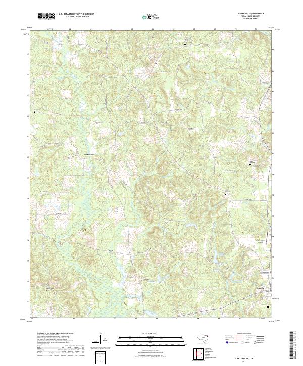
2022 Carterville
Cass County, TX
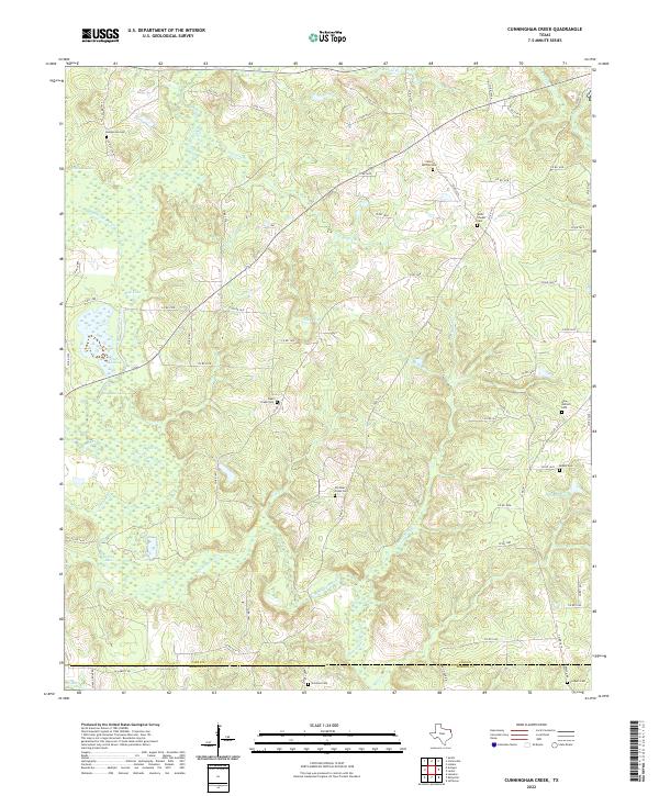
2022 Cunningham Creek
Cass County, TX
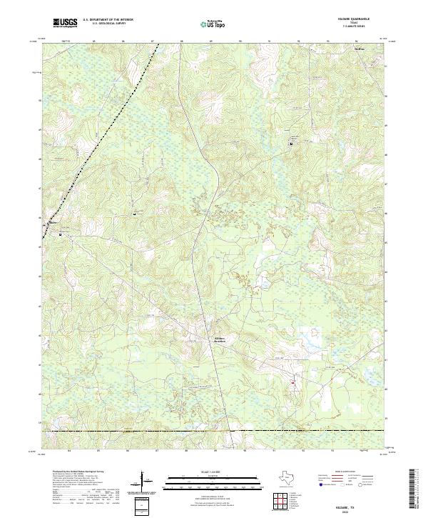
2022 Kildare
Cass County, TX
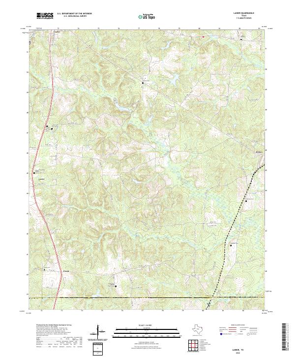
2022 Lanier
Cass County, TX
2022 Sardis
Cass County, TX