Old Maps of Linden, Texas
Explore 26 old maps of Linden, spanning from 1910 to today. These high-resolution historic maps reveal how streets, neighborhoods, landmarks, and natural features evolved over time — perfect for genealogy, metal detecting, research, and local history exploration.
What you can do with these maps:
- See how Linden changed over time: Compare historical maps to modern-day views to trace roads, homesites, rail lines & more.
- View detailed metadata: Each map includes creators, publishers, year, scale, and archive source.
- Overlay maps with satellite & LiDAR: Visualize the past alongside modern tools to explore terrain & human change.
- Trusted historical sources: Maps sourced from the USGS, Library of Congress, and other archives.
- Access maps your way: View online, download high-res files, or order prints for personal or research use.
Start exploring old maps of Linden to uncover forgotten places, hidden landmarks, and the deep history beneath your feet.
Linden, TX maps
(26)- 1910 Map of Linden
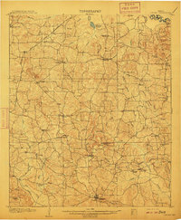 1910 Linden1910 Print · USGSNortheast Texas at the dawn of the century reveals a landscape defined by the timber industry and small rural hubs. You can trace the development of Cass County through landmarks like the T.P. Sawmill, Bryans Mill, and dozens of family-named sites like Harbucks Store.2 unique versions available
 - 1953 Map of Texarkana, 1964 Print
 1953 Texarkana1964 Print · USGSThe Texas-Arkansas borderlands are captured here in the mid-fifties, during a decade of massive military and hydraulic engineering projects. Genealogists and researchers can locate family landmarks like Old Boston Cem, Siloam Ch, and the vast Red River Arsenal.4 unique versions available
 - 1956 Map of Texarkana
 1956 Texarkana1956 Print · USGSThe Ark-La-Tex borderlands come alive in the mid-fifties, showing the transition from a rail-dependent rural economy to a post-war industrial landscape. Researchers can trace the massive Red River Ordnance Depot and find towns like Talco, Bogata, and Naples.
 - 1956 Map of Tyler
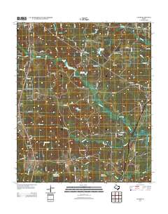
 1956 Tyler1956 Print · USGSEast Texas was a powerhouse of oil production and rail transport during the mid-fifties, centered on the sprawling East Texas Oil Field. Researchers can trace the heritage of industrial hubs like Kilgore, military sites such as the Longhorn Ordnance Works, and many rural landmarks like Mount Enterprise.5 unique versions available
 - 1962 Map of Lanier, 1963 Print
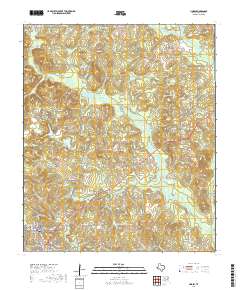
 1962 Lanier1963 Print · USGSEast Texas at the start of the sixties reveals a landscape shaped by oil, iron ore, and rural settlement. Genealogists can trace family landmarks like Salem Cem and Zion Hill Cem alongside industrial features like the Strip Mines and the Texas and Pacific railroad.
 - 1969 Map of Linden, 1972 Print
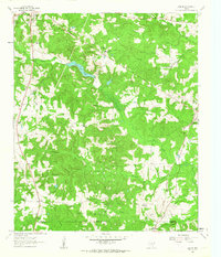
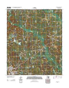
 1969 Linden1972 Print · USGSLinden and its surrounding Cass County countryside are captured here in the late sixties, showing a rural landscape transitioning toward modern infrastructure. Local historians can trace old community hubs like New Colony, family burial sites at Echols Cem, and the layout of the Rodeo Ground.2 unique versions available
 - 1969 Map of Carterville, 1973 Print
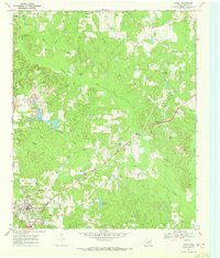
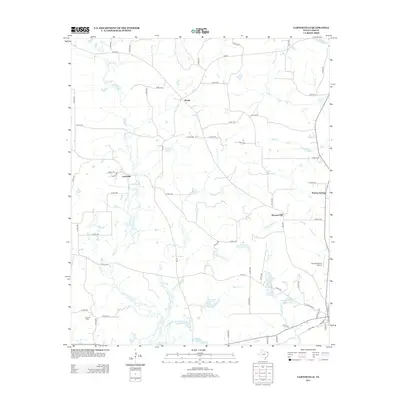
 1969 Carterville1973 Print · USGSCass County in the late sixties reveals a landscape of winding creek bottoms and quiet crossroads communities. Genealogists can trace family roots at Bethel-Cass Ch and Boon Cem, or locate the Old Railroad Grade near Carterville.
 - 1984 Map of Tyler
 1984 Tyler1984 Print · USGSEast Texas at the peak of its reservoir-building era shows a landscape defined by new lakes and established rail corridors. Trace the path of the St Louis Southwestern RR or locate industrial sites like the Longhorn Ordnance Works.3 unique versions available
 - 1986 Map of Marshall
 1986 Marshall1986 Print · USGSEast Texas and the Louisiana borderlands are shown in the mid-1980s during a period of sustained industrial and energy production. Researchers can trace family roots through settlements like Ebenezer or study the impact of the Longhorn Army Ammunition Plant and Rodessa Oil Field.2 unique versions available
 - 1986 Map of Texarkana
 1986 Texarkana1986 Print · USGSThe Texas-Arkansas borderlands are captured here in the mid-eighties as a hub of military industry and river-basin geography. Genealogists and local historians can locate rural landmarks like Red Hill Cem, Coopers Chapel, and the Lone Star Army Ammunition Plant.
 - 1992 Map of Texarkana
 1992 Texarkana1992 Print · USGSThe Ark-La-Tex border region comes into focus in the early nineties, centered on the sprawling waters of Wright Patman Lake. Genealogists and historians can trace rail-town development and rural roots through Old Union Cem, the Red River Army Depot, and Dalby Springs Cem.
 - 2010 Map of Lanier, 2010 Print
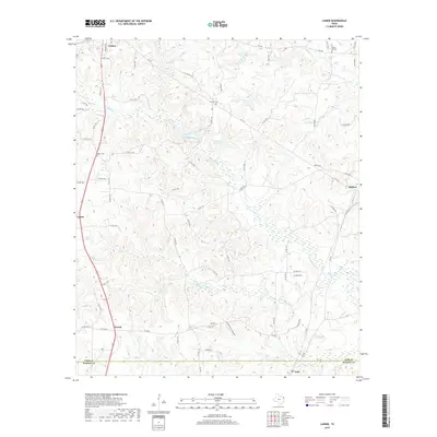
 2010 Lanier2010 Print · USGSCovers Linden, including Lodi, Evans, and other nearby areas
 - 2010 Map of Linden, 2010 Print
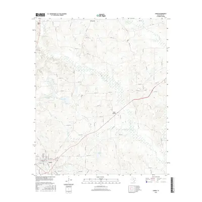
 2010 Linden2010 Print · USGSCovers Linden, including New Colony, O'Farrell, and other nearby areas
 - 2010 Map of Carterville, 2010 Print
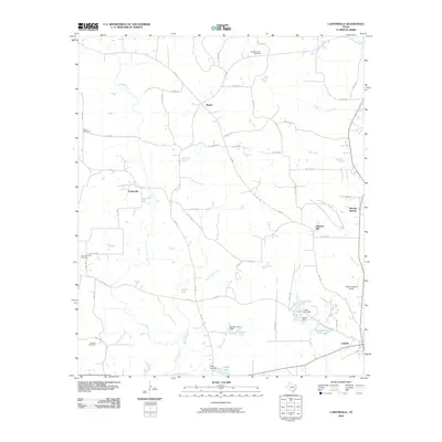 2010 Carterville2010 Print · USGSCovers Linden, including Pleasant Hill, Carterville, and other nearby areas
 - 2012 Map of Linden, 2012 Print
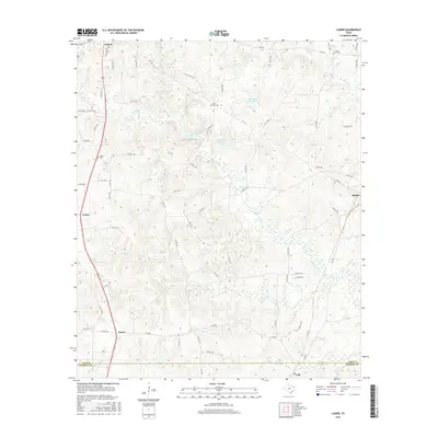
 2012 Linden2012 Print · USGSCovers Linden, including New Colony, O'Farrell, and other nearby areas
 - 2013 Map of Carterville, 2013 Print
 2013 Carterville2013 Print · USGSCovers Linden, including Pleasant Hill, Carterville, and other nearby areas
 - 2013 Map of Lanier, 2013 Print
 2013 Lanier2013 Print · USGSCovers Linden, including Lodi, Evans, and other nearby areas
 - 2016 Map of Linden, 2016 Print
 2016 Linden2016 Print · USGSCovers Linden, including New Colony, O'Farrell, and other nearby areas
 - 2016 Map of Lanier, 2016 Print
 2016 Lanier2016 Print · USGSCovers Linden, including Lodi, Evans, and other nearby areas
 - 2016 Map of Carterville, 2016 Print
 2016 Carterville2016 Print · USGSCovers Linden, including Pleasant Hill, Carterville, and other nearby areas
 - 2019 Map of Lanier, 2019 Print
 2019 Lanier2019 Print · USGSCovers Linden, including Lodi, Evans, and other nearby areas
 - 2019 Map of Carterville, 2019 Print
 2019 Carterville2019 Print · USGSCovers Linden, including Pleasant Hill, Carterville, and other nearby areas
 - 2019 Map of Linden, 2019 Print
 2019 Linden2019 Print · USGSCovers Linden, including New Colony, O'Farrell, and other nearby areas
 - 2022 Map of Carterville, 2022 Print
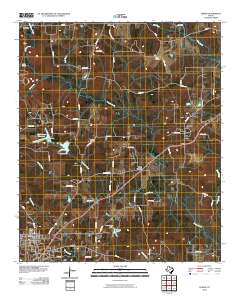
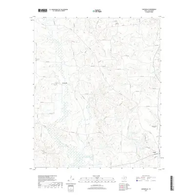
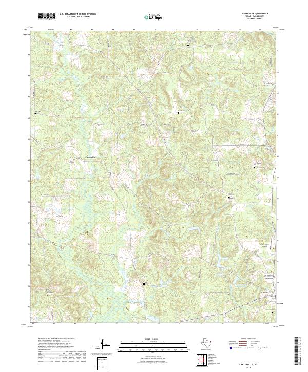 2022 Carterville2022 Print · USGSThe rural landscape of Cass County comes into focus in this recent survey of the area surrounding the county seat. Researchers can trace the location of numerous burial sites, including Old Pleasant Hill Cem, Mill Creek Cem, and Boon Cem, alongside the waters of Morse Lake.
 - 2022 Map of Linden, 2022 Print
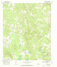
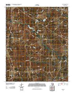
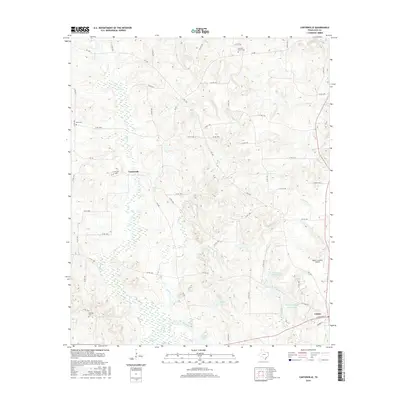
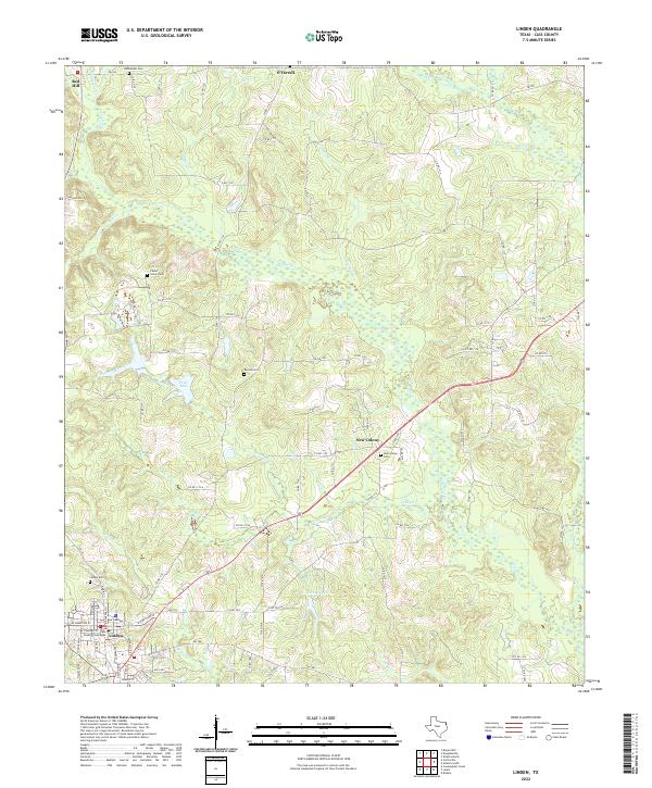 2022 Linden2022 Print · USGSThe county seat of Linden and its neighboring settlements are documented here during the early 2020s. Researchers can locate several burial grounds including Center Grove Cem and Barnes Cem, or trace the winding paths of Bee Cr and Crooked Br.
Showing maps 1-25 of 26
Top cities near Linden
- Atlanta historical maps
- Jefferson historical maps
- Queen City historical maps
- Avinger historical maps
- Douglassville historical maps
- Marietta historical maps
See more
Frequently asked questions
- What are the different types of historical maps available for Linden?
- What is the oldest map of Linden?
- Where can I purchase historical maps of Linden for my home or office?
- Where can I download high-res historical maps of Linden?
- Are there historical topographic maps available for Linden?
- Is there historical aerial imagery available for Linden?
- Where are historical maps of Linden sourced from?